The Lakes, Western Australia
| The Lakes Perth, Western Australia | |||||||||||||
|---|---|---|---|---|---|---|---|---|---|---|---|---|---|
 The Lakes | |||||||||||||
| Coordinates | 31°52′34″S 116°19′16″E / 31.876°S 116.321°ECoordinates: 31°52′34″S 116°19′16″E / 31.876°S 116.321°E | ||||||||||||
| Population | 45 (2011 census)[1] | ||||||||||||
| Postcode(s) | 6556 | ||||||||||||
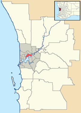
| Location | |||||||||||||
| LGA(s) | Shire of Mundaring | ||||||||||||
| State electorate(s) | Darling Range | ||||||||||||
| Federal Division(s) | Pearce | ||||||||||||
| |||||||||||||
The Lakes is a locality in Western Australia within the Shire of Mundaring. It is located 50 kilometres (31 mi) east of the capital city of Perth at the junction of the Great Eastern Highway and the Great Southern Highway, and is the easternmost suburb within the Metropolitan Region Scheme. At the 2011 census, The Lakes had a population of 45.[1]
The main feature of the community is a roadhouse and service station at the junction between the highways. It borders on the western ward of the Shire of Northam and the community of Woottating.
From the junction it is possible to travel to Northam on the northern fork, or York on the southern fork.
Notes
- ↑ 1.0 1.1 Australian Bureau of Statistics (31 October 2012). "The Lakes (State Suburb)". 2011 Census QuickStats. Retrieved 30 October 2012.
References
- Elliot, Ian (1983). Mundaring - A History of the Shire (2nd ed. ed.). Mundaring: Mundaring Shire. ISBN 0-9592776-0-9.
- Spillman, Ken (2003). Life was meant to be here: community and local government in the Shire of Mundaring. Mundaring: Mundaring Shire. ISBN 0-9592776-3-3.