Thanbyuzayat
| Thanbyuzayat သံဖြူဇရပ်မြို့ Thanbyuxayat,[1] Thanbyuzat[2] | |
|---|---|
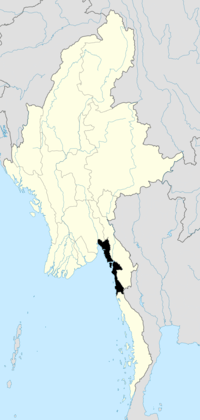
 Thanbyuzayat Location in Burma | |
| Coordinates: 15°58′N 97°44′E / 15.967°N 97.733°ECoordinates: 15°58′N 97°44′E / 15.967°N 97.733°E | |
| Country |
|
| Division | Mon State |
| District | Mawlamyine District |
| Township | Thanbyuzayat Township |
| Population (2005) | |
| • Religions | Buddhism |
| Time zone | MST (UTC+6.30) |
Thanbyuzayat[3] (Burmese: သံဖြူဇရပ်မြို့; Mon: ဇြပ်ဗု Tin Shelter[4]) is a town in the Mon State of southeastern Burma (Myanmar). It is the administrative center for Thanbyuzayat Township. Thanbyuzayat is about 64 kilometres (40 mi) south of Mawlamyine (Moulmein) and 24 kilometres (15 mi) miles south-east of Kyaikkami (Amherst).
During World War II Thanbyuzayat was the western terminus of the Thailand–Burma Railway linking up with the pre-war coastal railway between Ye and Rangoon. Thanbyuzayat was also the site of a Japanese Prisoner of war camp for the prisoners who worked on building the railway,[5] and over 3,000 Allied servicemen are buried there in the Thanbyuzayat War Cemetery.[6] Today a clock tower stands at the central road junction with roads headed north to Mawlamyine, south to Ye, and west to Kyaikkami and Setse.[4]
Notes
- ↑ Thanbyuxayat (Variant) at GEOnet Names Server, United States National Geospatial-Intelligence Agency
- ↑ Thanbyuzat (Variant) at GEOnet Names Server, United States National Geospatial-Intelligence Agency
- ↑ Thanbyuzayat (Approved) at GEOnet Names Server, United States National Geospatial-Intelligence Agency
- ↑ 4.0 4.1 Reid, Robert and Grosberg, Michael (2005) Myanmar (Burma) (9th edition) Lonely Planet Publications, Footscray, Victoria, Australia, page 159, ISBN 1-74059-695-1
- ↑ Rivett, Rohan Deakin (1950) "Chapter XIX: Thanbyuzayat Base Camp" Behind bamboo : an inside story of the Japanese prison camps Angus and Robertson, London, OCLC 13509214
- ↑ Taylor, William (1971) With the Cambridgeshires at Singapore Trevor Allen Bevis, March, England, pages 89-91, ISBN 0-901680-01-X
External links
- "Thanbyuzayat Map – Satellite Images of Thanbyuzayat" Maplandia World Gazetteer
| |||||||||||||||||||||