Tempy, Victoria
| Tempy Victoria | |||||||||||||
|---|---|---|---|---|---|---|---|---|---|---|---|---|---|
 Tempy | |||||||||||||
| Coordinates | 35°20′40″S 142°25′30″E / 35.34444°S 142.42500°ECoordinates: 35°20′40″S 142°25′30″E / 35.34444°S 142.42500°E | ||||||||||||
| Postcode(s) | 3489 | ||||||||||||
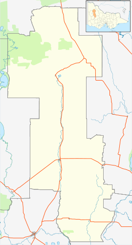
| Location | |||||||||||||
| LGA(s) | |||||||||||||
| State electorate(s) | Mildura | ||||||||||||
| Federal Division(s) | Mallee | ||||||||||||
| |||||||||||||
Tempy is a locality in Victoria, Australia, located approximately 136 km from Mildura, Victoria and south of Ouyen. The area was settled after the arrival of the railway, the Post Office opening on 18 July 1910.[2]
The major industry in this region, The Mallee is farming, predominantly sheep and wheat.
References
- ↑ Travelmate
- ↑ Premier Postal History, Post Office List, retrieved 2008-04-11
| ||||||
| ||||||||||