Teddywaddy
| Teddywaddy Victoria | |||||||||||||
|---|---|---|---|---|---|---|---|---|---|---|---|---|---|
 Teddywaddy | |||||||||||||
| Coordinates | 36°11′45″S 143°20′26″E / 36.19583°S 143.34056°ECoordinates: 36°11′45″S 143°20′26″E / 36.19583°S 143.34056°E | ||||||||||||
| Postcode(s) | 3527 | ||||||||||||
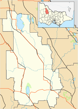
| Location |
| ||||||||||||
| LGA(s) | Shire of Buloke | ||||||||||||
| State electorate(s) | Mildura | ||||||||||||
| Federal Division(s) | Mallee | ||||||||||||
| |||||||||||||
Teddywaddy is a locality in the Lower Avoca ward of the local government area of the Shire of Buloke, Victoria, Australia.[1] A rural CFA station is located on 'Lot 1 Teddywaddy Road.'
Teddywaddy post office opened on 1 August 1881, and was closed on 31 July 1973. [2]
References
- ↑ "VEC Locality Finder" (PDF). Retrieved 2012-04-02.
- ↑ Premier Postal History, Post Office List, retrieved 2008-04-11
| ||||||