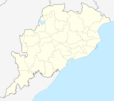
Tebhapadar
| Tebhapadar Nuan Tebhapadar, Purna Diha | |
|---|---|
| village | |
 Tebhapadar Location in Orissa, India | |
| Coordinates: 20°54′24.43″N 84°10′35.34″E / 20.9067861°N 84.1764833°ECoordinates: 20°54′24.43″N 84°10′35.34″E / 20.9067861°N 84.1764833°E | |
| Country |
|
| State | Orissa |
| Area | |
| • Total | 3.0581 km2 (1.1807 sq mi) |
| Population | |
| • Total | 1,326 |
| • Density | 430/km2 (1,100/sq mi) |
| Languages | |
| • Official | Oriya |
| Time zone | IST (UTC+5:30) |
| Nearest city | Subalaya, Birmaharajpur, Rairakhol |
| Lok Sabha constituency | Balangir |
| Vidhan Sabha constituency | Birmaharajpur |
Tebhapadar is a village of Birmaharajpur subdivision of Subarnapur district of Orissa, India.[1][2][3] It is located on the bank of Surubalijora and Mahanadi River.[4] Total population of this village is 1,326 out of which 697 are male and 629 are female.[5] This village is spread over 755.673 acres (3.05810 km2) of land.[6] It has three temples viz. Jagannath, Khameswari and Bhagabat temple. It is famous for Maa Khameswari puja during winter season.
This village is located on side of the main road that connects Rairakhol to Sambalpur via Birmaharajpur. The neighboring villages are Ambasarabhata, Buromala, and Pitamahul.[7]
References
- ↑
- ↑ [http://www.indianngos.com/sonepur/view_results_detail.asp?ID=535&mVarTable=[Sheet1]]
- ↑ "BPL Survey 2009". Orissapanchayat.gov.in. Retrieved 2012-10-19.
- ↑ "New Tebhapadar". Wikimapia.org. Retrieved 2012-10-19.
- ↑
- ↑ Land area table at Internet Archive (archived from )
- ↑
| ||||||||||||||