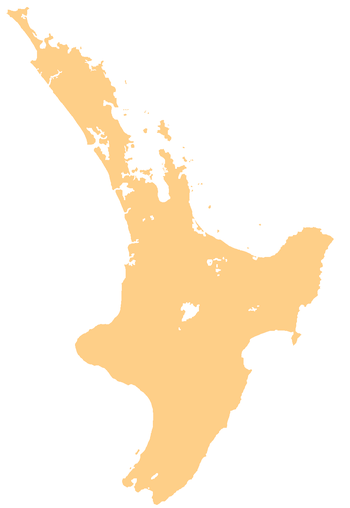
Te Mata Peak
| Te Mata Peak | |
|---|---|
 A view from Te Mata Peak | |
| Elevation | 399 m (1,309 ft) |
| Location | |
 Te Mata Peak Hawke's Bay, New Zealand | |
| Coordinates | 39°42′05″S 176°54′33″E / 39.70139°S 176.90917°ECoordinates: 39°42′05″S 176°54′33″E / 39.70139°S 176.90917°E |
| Climbing | |
| Easiest route | Road |
Te Mata Peak is a peak south of Hastings rising up to 399m[1] in the Hawke's Bay region of New Zealand. A sealed road leads to the popular lookout at the summit, as well as several trails for hikers and mountain bikers.
As the highest peak in the area, it offers views over the Heretaunga Plains, and Hawke's Bay, including Napier. On a clear day, the view stretches as far as Mount Ruapehu and Mahia Peninsula.