Taunton Deane
| Taunton Deane | ||
|---|---|---|
| Non-metropolitan district | ||
| ||
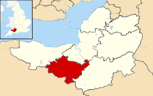 Shown within Somerset | ||
| Sovereign state | United Kingdom | |
| Constituent country | England | |
| Region | South West England | |
| Ceremonial county | Somerset | |
| Admin HQ | Taunton | |
| Created | 1 April 1974 | |
| Government | ||
| • Type | Non-metropolitan district | |
| • Leader | John Williams | |
| • Council | Conservative / Liberal Democrat | |
| • MPs: | Jeremy Browne LD | |
| Area | ||
| • Total | 178.87 sq mi (463.26 km2) | |
| Population (2011 est.) | ||
| • Total | 110,600 (Ranked 205th) | |
| Time zone | GMT (UTC0) | |
| • Summer (DST) | BST (UTC+1) | |
| Post Code | TA1-4 | |
| Area code(s) | 01823 | |
| Website | http://www.tauntondeane.gov.uk/ | |
Taunton Deane is a local government district with borough status in Somerset, England. Its council is based in Taunton.
The district was formed on 1 April 1974, under the Local Government Act 1972, by a merger of the Municipal Borough of Taunton, Wellington Urban District, Taunton Rural District, and Wellington Rural District.
Taunton Deane was granted borough status in 1975, perpetuating the mayoralty of Taunton.[1]
The district was given the name of an alternate form of the Taunton Deane Hundred.
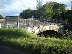
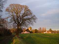
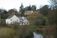
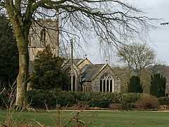
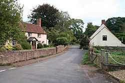
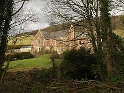
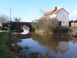
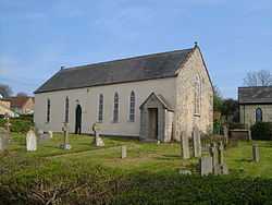
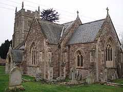
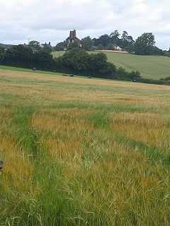
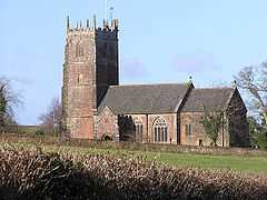
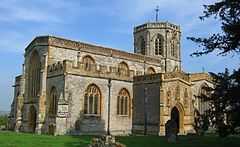
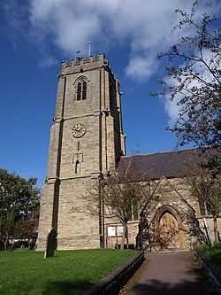
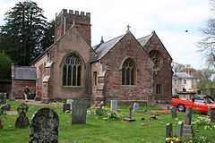
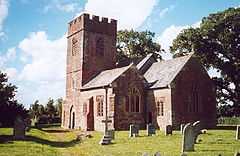
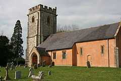
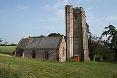
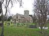
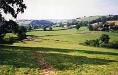
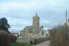
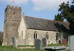
Settlements
Settlements in bold have a town charter or a population over 2,500.
- Ash Priors - Ashbrittle
- Bathealton - Bickenhall - Bishop's Hull - Bishops Lydeard - Bradford on Tone - Burrowbridge
- Cheddon Fitzpaine - Chipstable - Churchstanton - Combe Florey - Comeytrowe - Corfe - Cotford St Luke - Cothelstone - Creech St Michael - Curland
- Durston
- Fitzhead
- Halse - Hatch Beauchamp
- Kingston St Mary
- Langford Budville - Lydeard St Lawrence
- Milverton
- North Curry - Norton Fitzwarren - Nynehead
- Oake - Orchard Portman - Otterford
- Pitminster
- Ruishton
- Sampford Arundel - Staple Fitzpaine - Staplegrove - Stawley - Stoke St Gregory - Stoke St Mary
- Taunton - Thornfalcon - Tolland - Trull
- Wellington - West Bagborough - West Buckland - West Monkton - Wiveliscombe
Parishes
Part of the former Taunton Municipal Borough is unparished.


Demography
| Population Profile[6] | |||||
|---|---|---|---|---|---|
| UK Census 2001 | Taunton Deane | South West England | England | ||
| Total population | 102,299 | 4,928,434 | 49,138,831 | ||
| Foreign born | 4.1% | 9.4% | 9.2% | ||
| White | 98.4% | 97.7% | 91% | ||
| Asian | 0.4% | 0.7% | 4.6% | ||
| Black | 0.2% | 0.4% | 2.3% | ||
| Christian | 75.9% | 74.0% | 72% | ||
| Muslim | 0.3% | 0.5% | 3.1% | ||
| Hindu | 0.1% | 0.2% | 1.1% | ||
| No religion | 15.7% | 16.8% | 15% | ||
| Over 75 years old | 9.5% | 9.3% | 7.5% | ||
| Unemployed | 2.4% | 2.6% | 3.3% | ||
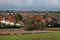
The town of Taunton (which for population estimates includes the unparished area - or former municipal borough - plus the neighbouring parishes of Bishop's Hull, Comeytrowe, Norton Fitzwarren, Staplegrove, Trull and West Monkton) had an estimated population of 61,400 in 2001.[7]
Taunton forms part of the larger borough of Taunton Deane which also includes the town of Wellington and surrounding villages. Taunton Deane had an estimated population of 102,600 in 2001.[8]
The figures below are for the Taunton Deane area.
| Population since 1801 - Source: A Vision of Britain through Time | |||||||||||||
| Year | 1801 | 1851 | 1901 | 1911 | 1921 | 1931 | 1941 | 1951 | 1961 | 1971 | 1981 | 1991 | 2001 |
|---|---|---|---|---|---|---|---|---|---|---|---|---|---|
| Population Taunton Deane[9] | 33,139 | 51,844 | 53,759 | 55,666 | 56,161 | 56,661 | 62,745 | 69,492 | 75,320 | 81,639 | 84,795 | 95,791 | 102,304 |
Education
County schools (those which are not independent) in the five non-metropolitan districts of the county are operated by Somerset County Council, or are independent of the council and run as academies.
For a full list of schools see: List of schools in Somerset
See also
- List of Grade I listed buildings in Taunton Deane
- List of Scheduled Monuments in Taunton Deane
References
- ↑ "About the Mayor". Taunton Deane Borough Council. Retrieved 23 January 2010.
- ↑ 2.0 2.1 2.2 2.3 2.4 2.5 2.6 2.7 2.8 2.9 2.10 2.11 2.12 2.13 2.14 2.15 2.16 2.17 2.18 2.19 2.20 2.21 2.22 2.23 2.24 2.25 2.26 2.27 2.28 2.29 2.30 2.31 2.32 2.33 2.34 2.35 2.36 2.37 2.38 2.39 2.40 2.41 2.42 2.43 2.44 2.45 "Statistics for Wards, LSOAs and Parishes — SUMMARY Profiles" (EXCEL). Somerset Intelligence. Retrieved 4 January 2014.
- ↑ 3.0 3.1 3.2 3.3 3.4 3.5 3.6 3.7 3.8 3.9 3.10 3.11 3.12 3.13 "Wellington RD". A vision of Britain Through Time. University of Portsmouth. Retrieved 5 January 2014.
- ↑ 4.0 4.1 4.2 4.3 4.4 4.5 4.6 4.7 4.8 4.9 4.10 4.11 4.12 4.13 4.14 4.15 4.16 4.17 4.18 4.19 4.20 4.21 4.22 4.23 4.24 4.25 4.26 4.27 4.28 4.29 4.30 4.31 4.32 4.33 4.34 "Taunton RD". A vision of Britain Through Time. University of Portsmouth. Retrieved 5 January 2014.
- ↑ "Wellington UD". A vision of Britain Through Time. University of Portsmouth. Retrieved 5 January 2014.
- ↑ United Kingdom Census 2001 (2001). "Key Figures for 2001 Census: Census Area Statistics: Area: Bath and North East Somerset". statistics.gov.uk. Retrieved 2007-12-12.
- ↑ "Mid Year Population Estimates for Towns" (PDF). Somerset County Council. Retrieved 2009-02-17.
- ↑ "Population Summary" (PDF). Somerset County Council. Retrieved 2009-02-17.
- ↑ "Taunton Deane: Total Population". A Vision of Britain Through Time. Great Britain Historical GIS Project. Retrieved 2008-01-19.
External links
| ||||||||||||||||||||||