Tatakoto Airport
| Tatakoto Airport Aérodrome de Tatakoto | |||||||||||
|---|---|---|---|---|---|---|---|---|---|---|---|
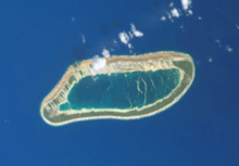 NASA satellite image of Tatakoto | |||||||||||
| IATA: TKV – ICAO: NTGO | |||||||||||
| Summary | |||||||||||
| Airport type | Public | ||||||||||
| Operator | DSEAC Polynésie Française | ||||||||||
| Serves | Tatakoto, Tuamotu, French Polynesia | ||||||||||
| Elevation AMSL | 3 m / 10 ft | ||||||||||
| Coordinates | 15°49′11″S 140°53′13″W / 15.81972°S 140.88694°WCoordinates: 15°49′11″S 140°53′13″W / 15.81972°S 140.88694°W | ||||||||||
| Map | |||||||||||
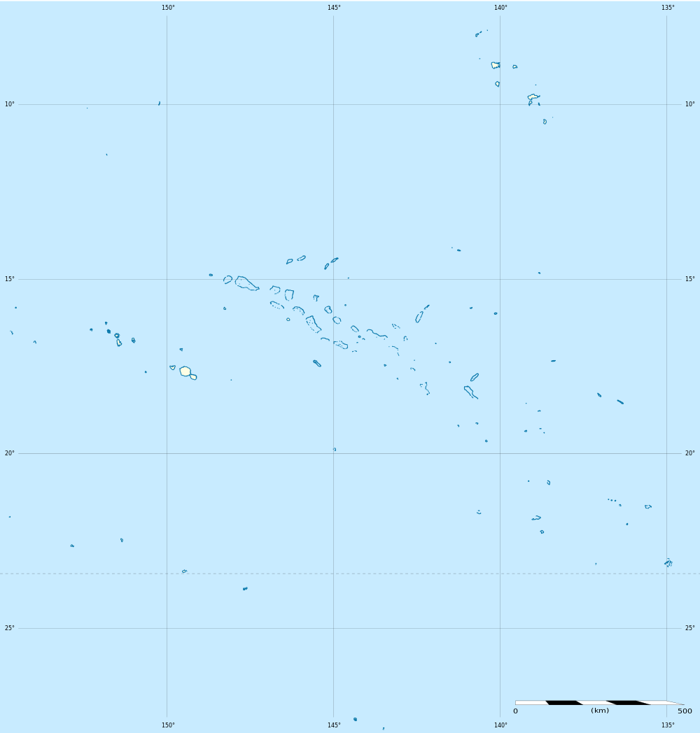 TKV Location of the airport in French Polynesia | |||||||||||
| Runways | |||||||||||
| |||||||||||
|
Source: French AIP.[1] | |||||||||||
Tatakoto Airport (IATA: TKV, ICAO: NTGO) is an airport serving the village of Tumukuru, located on the Tatakoto atoll, in the Tuamotu group of atolls in French Polynesia, 1,180 kilometres (730 mi) from Tahiti.
Tatakoto Airport was inaugurated in 1979.
Airlines and destinations
| Airlines | Destinations |
|---|---|
| Air Tahiti | Nukutavake, Pukarua, Tahiti, Vahitahi |
References
- ↑ NTGO – Fangatau (PDF). AIP from French Service d'information aéronautique, effective 2 Apr 2015.
External links
| ||||||||||||||||||||