Tarwin Lower, Victoria
| Tarwin Lower Victoria | |
|---|---|
 Tarwin Lower | |
| Coordinates | 38°42′S 145°51′E / 38.700°S 145.850°ECoordinates: 38°42′S 145°51′E / 38.700°S 145.850°E |
| Population | 115 (2006 census)[1] |
| Postcode(s) | 3956 |
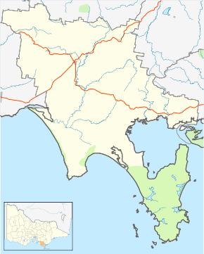
| Location | |
| LGA(s) | South Gippsland Shire |
| State electorate(s) | Gippsland South |
| Federal Division(s) | McMillan |
Tarwin Lower is a small town located 175 kilometres (109 mi) south-east of Melbourne, Australia. It rests on the south bank of the Tarwin River and at the 2006 census, had a population of 115.
History
The Post Office opened on 1 February 1881.[2]
The Town today
The majority of the town is on its main street — River Drive — and is often passed through by holiday makers on their way to nearby Venus Bay. The main shopping strip is home to a take-away store, petrol station, post office, general store, hardware store, pub, tennis court, combined church (Uniting and Anglican services alternate each Sunday, Catholic Mass on Saturday 6pm), craft shop, health food shop, real estate agent, local hall and the local fire brigade.
During main holiday weekends and periods throughout the year Tarwin Lower hosts a decent market catering to all tastes. It is mainly based at the Mechanic's Institute hall and its surrounding land, and continues to sprawl each time it runs.
At the western end of the town is the local fishing jetty and a very long picnic table.
The town is home to the local football team, the Tarwin Sharks, who were premiers in 2004 in the local Alberton Football League.
Golfers play at the Tarwin Lower Golf Course on River Drive.[3]
References
- ↑ Australian Bureau of Statistics (25 October 2007). "Tarwin Lower (State Suburb)". 2006 Census QuickStats. Retrieved 2007-10-01.
- ↑ Premier Postal History, Post Office List, retrieved 2008-04-11
- ↑ Golf Select, Tarwin Lower, retrieved 2009-05-11
| ||||||