Taraklı
| Taraklı | |
|---|---|
 Taraklı | |
| Coordinates: 40°23′49″N 30°29′34″E / 40.39694°N 30.49278°ECoordinates: 40°23′49″N 30°29′34″E / 40.39694°N 30.49278°E | |
| Country | Turkey |
| Province | Sakarya |
| Area[1] | |
| • District | 332 km2 (128 sq mi) |
| Population (2012)[2] | |
| • Urban | 3,017 |
| • District | 6,853 |
| • District density | 21/km2 (53/sq mi) |
| Climate | Csb |
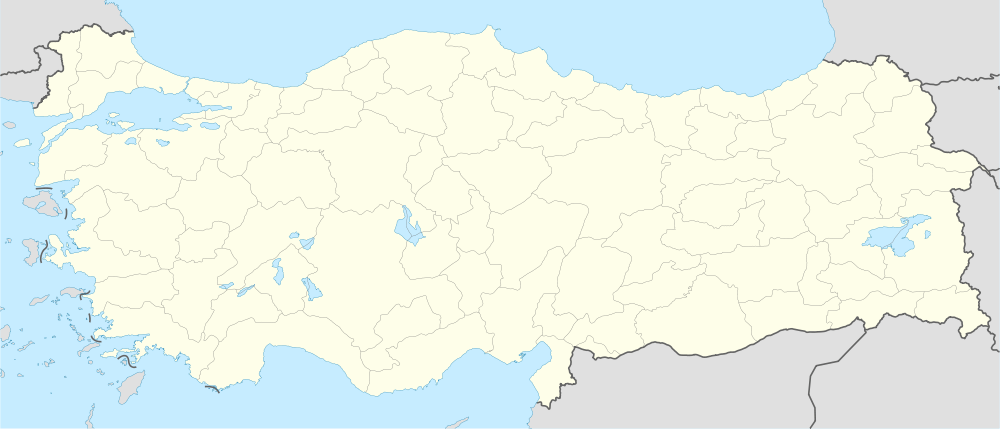
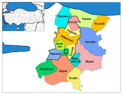
Taraklı is a historic district in northwestern Turkey. It is surrounded by forest and located approximately mid-way between Istanbul and Ankara in the Sakarya Province of the Marmara region. The district governor is Ömer Yılmaz, and the mayor is Tacettin Özkaraman (AKP).
A member of the Cittaslow movement, Tarakli features cobblestone streets and architecture dating back to the Ottoman Empire.[3] The town has undergone extensive renovations and has gained attention as a tourist destination.[4] A local bazaar offers handmade crafts like wooden combs and spoons.[5] Nearby attractions include thermal springs, the Karagöl Plateau, and Hark Canyon and Cave.[6]
The Yunus Pasha Mosque, built in 1517 by Ottoman architect Mimar Sinan, lies at the center of Tarakli.[7] It was built with molten lead and heated from below with steam from an adjacent public bath.[4]
References
- ↑ "İl ve İlçe Yüzölçümleri" [Provincial and District surface area] (PDF) (in Turkish). Harita Genel Komutanlığı. Retrieved 2013-02-28.
- ↑ "Population of province/district centers and towns/villages by districts - 2012". Address Based Population Registration System (ABPRS) Database. Turkish Statistical Institute. Retrieved 2013-02-27.
- ↑ "Welcome to Taraklı". European Commission. Retrieved 5 February 2014.
- ↑ 4.0 4.1 "Taraklı". Cittaslow Turkiye. Retrieved 5 February 2014.
- ↑ "Tarakli in Sakarya". GoTurkeyTourism. Retrieved 5 February 2014.
- ↑ "Ottoman Elegance: Taraklı". Turkish Airlines Skylife Magazine. Retrieved 5 February 2014.
- ↑ "EDEN 2013: Turkey: Taraklı District". EUenterprise YouTube channel. Retrieved 5 February 2014.
