Tapal
| Tapal | ||
|---|---|---|
| Barangay | ||
| ||
| Coordinates: 10°03′33″N 124°30′59″E / 10.0592°N 124.5164°ECoordinates: 10°03′33″N 124°30′59″E / 10.0592°N 124.5164°E | ||
| Country | Philippines | |
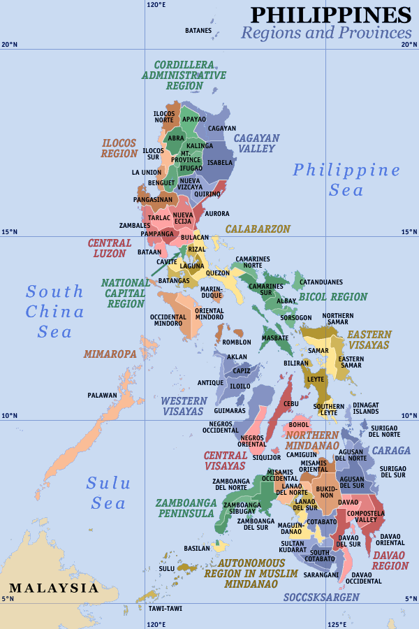
| Region | Central Visayas Region VII | |
| Province | Bohol | |
| District | 2nd District of Bohol | |
| Municipality | Ubay | |
| Urban District | VI | |
| Purok | 7 | |
| Government | ||
| • Type | Sangguniang Barangay | |
| • Brgy Captain | Ronald Rosales | |
| • Brgy Council |
Kagawads
| |
| Area | ||
| • Total | 290 ha (720 acres) | |
| Population (2010)[1] | ||
| • Total | 1,371 | |
| • Density | 470/km2 (1,200/sq mi) | |
| • Voters (2013)[2] | 845 | |
| Time zone | PST (UTC+8) | |
| ZIP code | 6315 | |
| IDD : | +63 (0)38 | |
| PSGC | 071246045 | |
Tapal is one of the 44 barangays of the municipality of Ubay, in the province of Bohol, Philippines.
The barangay's total land area is 290 hectares (720 acres).[3] According to the 2010 census, it has a population of 1,371. In the last election, it had 845 registered voters, meaning that 62% of the population are aged 18 and over.[2]
Tapal celebrates its annual fiesta on 3 May in honor of their patron saint.
Location
Located on the northeastern peninsula of the municipality, Tapal overlooks the Basiao Channel and Lapinig Island to the east. It is bounded to the north by Sentinela, to the south by Union and to the west by San Isidro. It is 7 km (4.3 mi) from the town center, Poblacion.
History
The barangay was once called Candungao, from the Cebuano word dungao (to look through, or to peep), because it serves as a window for residents due to its proximity to the island municipality of Pres. Carlos P. Garcia.
An incident occurred when many residents refused to pay their taxes and a local judge paid on their behalf. After that, the barangay was renamed Tapal, which means to patch or fill in Cebuano.
Government
There are seven puroks overseen by the elected kagawads.
Features
Tapal has two known beaches: Kalipay Beach and Mendez Beach.
Facilities and services
- Barangay Hall
- Barangay Health Center
- Day Care Center
- Elementary School
- 7 Purok Kiosks
References
- ↑ "Total Population by Province, City, Municipality and Barangay: as of May 1, 2010" (PDF). 2010 Census of Population and Housing. National Statistics Office. Retrieved 1 April 2013.
- ↑ 2.0 2.1 Project of Precincts for the 2013 Barangay Elections
- ↑ Saz, Efren B. (April 2007). "A Comprehensive Assessment of the Agricultural Extension System in the Philippines: Case Study of LGU Extension in Ubay, Bohol" (PDF). Philippine Institute for Development Studies. Retrieved March 14, 2015.
External links
 |
Sentinela |  | ||
| San Isidro | |
Basiao Channel | President Carlos P. Garcia | ||
| ||||
| | ||||
| Union |
| ||||||||||||||||||||||||||||||||||
| ||||||||||||||||||||||||||||||||||


