Tapae
 Location within Romania | |
| Location | |
| Coordinates | 45°30′20″N 22°43′29″E / 45.5056°N 22.7247°ECoordinates: 45°30′20″N 22°43′29″E / 45.5056°N 22.7247°E |
| Place name | Culmea Cătanelor [1] |
| Town | Zeicani |
| County | Hunedoara |
| Country |
|
| Reference | |
| RO-RAN | 91107.06 [1] |
| Site notes | |
| Condition | Ruined |
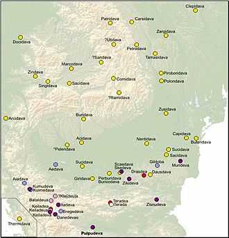
Tapae was a fortified settlement, guarding Sarmizegetusa, the main political centre of Dacia. Its location was on the Iron Gates of Transylvania, a natural passage breaking between Țarcului and Poiana Ruscă Mountains and connecting Banat to Țara Hațegului. This made it one of the very few point through which Southern invaders could enter Transylvania. Moreover, 8 kilometres down the passage into Țara Hațegului, there is Sarmizegetusa Regia.
Cassius Dio notes the existence of a military camp there [2] during Dacian Wars. The place is the site of two battles between Dacians and Romans.
Nowadays on this site there is a small village, Zeicani, a part of Sarmizegetusa commune.
References
- ↑ 1.0 1.1 "National Archaeological Record (RAN)". ran.cimec.ro. Retrieved 11 November 2012.
- ↑ http://penelope.uchicago.edu/Thayer/e/roman/texts/cassius_dio/68*.html#8