Tanambao Marivorahona
| Tanambao Marivorahona Marivorahona | |
|---|---|
|
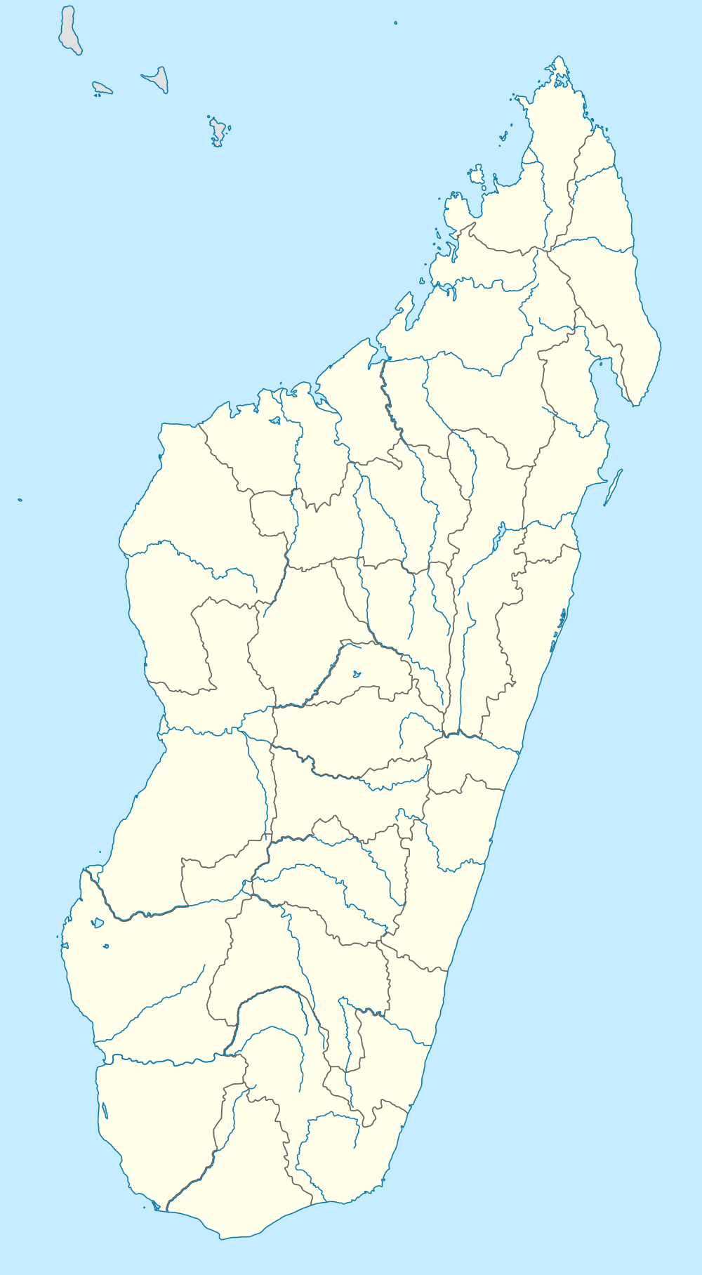
Manajeba River at Marivorahona | |
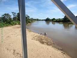
 Tanambao Marivorahona Location in Madagascar | |
| Coordinates: 13°5′S 49°5′E / 13.083°S 49.083°E | |
| Country |
|
| Region | Diana |
| District | Ambilobe |
| Elevation[1] | 24 m (79 ft) |
| Population (2001)[2] | |
| • Total | 9,462 |
| Time zone | EAT (UTC3) |
Marivorahona or Tanambao Marivorahona is a municipality (French: commune, Malagasy: kaominina) in northern Madagascar. It belongs to the district of Ambilobe, which is a part of Diana Region.
It is situated some 15 km north of Ambilobe at the Route nationale 6 in the fertile plains of the Manajeba River.
According to 2001 census the population of Tanambao Marivorahona was 9462.[2]
Only primary schooling is available in town. The majority (94%) of the population are farmers. The most important crops are sugarcane and tomato, while other important agricultural products are cotton, sweet potato and rice. Industry and services both provide employment for 3% of the population.[2]
References and notes
- ↑ Estimated based on DEM data from Shuttle Radar Topography Mission
- ↑ 2.0 2.1 2.2 "ILO census data". Cornell University. 2002. Retrieved 2008-02-13.
| ||||||||||||||||||||||||
Coordinates: 13°5′S 49°5′E / 13.083°S 49.083°E