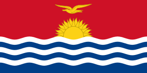
Tamana, Kiribati

Tamana is the smallest island in the Gilbert Islands. It is accessible both by boat and by air with Air Kiribati and Coral Sun Airways (once a week; airport code: TMN)
Tamana is second southern-most island in the Gilbert group and the smallest inhabited island in Kiribati. The island is approximately 6 km (4 mi) in length, 1 km (0.6 mi) at its widest point, and has a total land area of 4.73 km2 (1.83 sq mi).[1]
The Island Council is located at Bakaakaa, the central village of the island and this is also where the rest of the Government facilities are located such as the CB radio for inter-island communication, the hardware store, and the fuel depot. The schools (Primary and JSS) and the Medical facilities are also located in the same village.[1]
History
Tamana Post Office opened around 1915.[2]
References
- ↑ 1.0 1.1 "17. Tamana" (PDF). Office of Te Beretitent - Republic of Kiribati Island Report Series. 2012. Retrieved 28 April 2015.
- ↑ Premier Postal History. "Post Office List". Premier Postal Auctions. Retrieved 5 July 2013.
- Exhibit: The Alfred Agate Collection: The United States Exploring Expedition, 1838-1842 from the Navy Art Gallery
| |||||||||||||||||||||||||||||
Coordinates: 2°30′S 175°59′E / 2.500°S 175.983°E
