Tai Tapu
| Tai Tapu | |
|---|---|
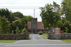 | |
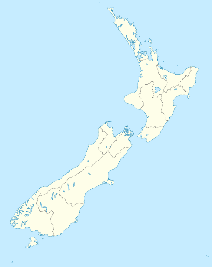 Tai Tapu Location of Tai Tapu | |
| Coordinates: 43°40′12″S 172°33′0″E / 43.67000°S 172.55000°E | |
| Country |
|
| Island | South Island |
| Region | Canterbury |
| Territorial authority | Selwyn District |
| Population (2006 Census)[1] | |
| • Total | 411 |
| Time zone | NZST (UTC+12) |
| • Summer (DST) | NZDT (UTC+13) |
| Local iwi | Ngāi Tahu |
Tai Tapu is a small town located 6 km east of the town of Lincoln and 18 km south west of Christchurch on State Highway 75.
Etymology
The name Tai Tapu is derived from the words wai tapu, which means sacred or solemn water.[2]
The town is also known as Taitapu throughout its existence
References
- ↑ Quickstats about Taitapu
- ↑ "Tai Tapu". Victoria University of Wellington. Retrieved 5 January 2012.
External links
![]() Media related to Tai Tapu at Wikimedia Commons
Media related to Tai Tapu at Wikimedia Commons
| ||||||||||||||||||
| ||||||||||