T'ula Qullu
| T'ula Qullu | |
|---|---|
 T'ula Qullu Location in Bolivia | |
| Elevation | 4,842 m (15,886 ft)[1] |
| Location | |
| Location |
Bolivia, La Paz Department José Manuel Pando Province |
| Range | Andes |
| Coordinates | 17°16′S 69°34′W / 17.267°S 69.567°WCoordinates: 17°16′S 69°34′W / 17.267°S 69.567°W[2] |
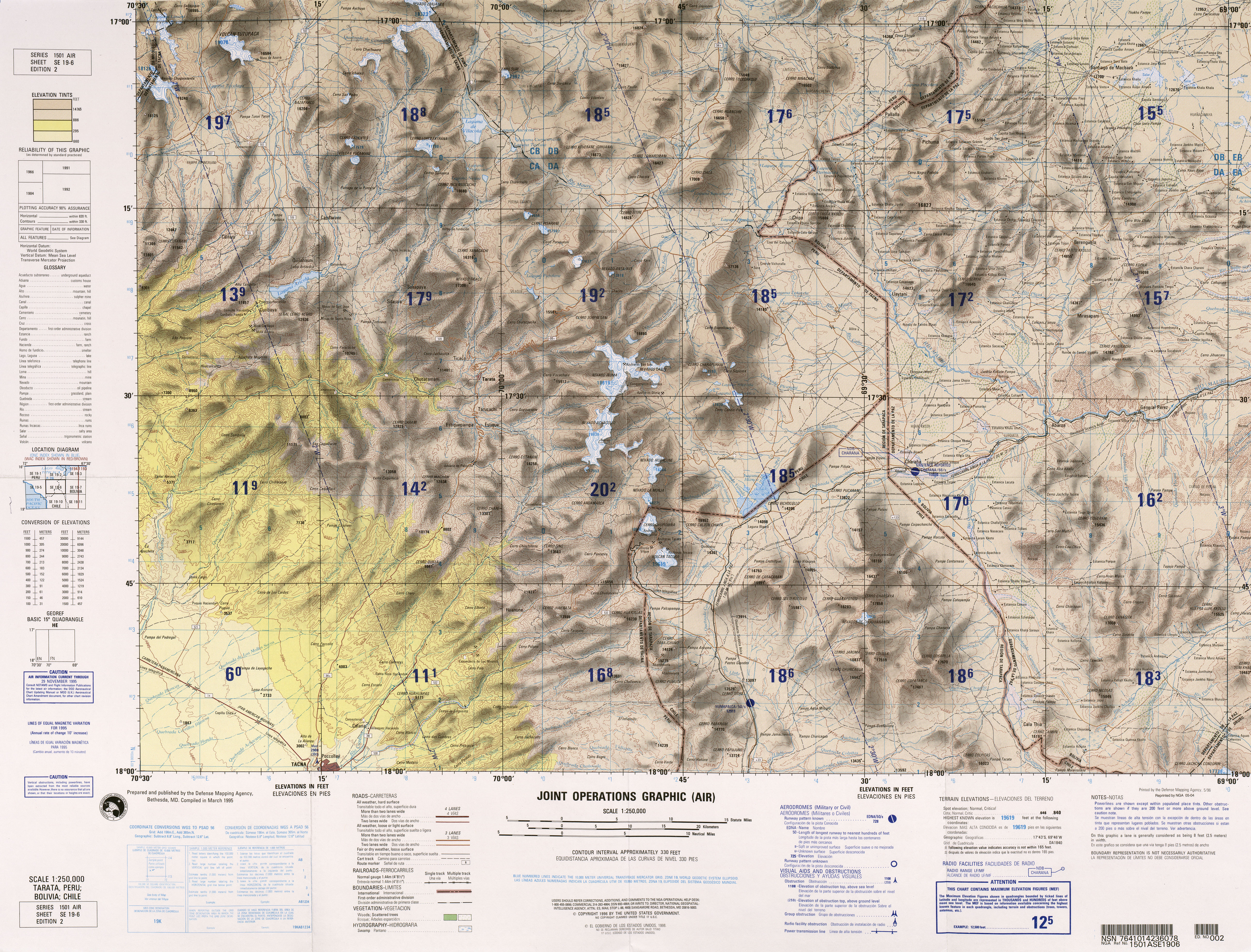
T'ula Qullu (Aymara and Quechua t'ula wood, burning material, Aymara qullu mountain,[3] "wood mountain", hispanicized spellings Thola Khollu, Thola Kkollu) is a mountain in the Andes of Bolivia, about 4,842 metres (15,886 ft) high. It is situated in the La Paz Department, José Manuel Pando Province, Qataqura Municipality, T'ula Qullu Canton.[4] T'ula Qullu lies near the border to Peru, between the Peruvian mountain Chila (5,184 m/17,008 ft) in the west and the Sinijawi (5,129 m/16,827 ft) in the east, north west of the volcano Sirk'i.
See also
References
- ↑ lib.utexas.edu Map of the area (15,886 ft)
- ↑ getamap.net
- ↑ katari.org Aymara-Quechua-Spanish dictionary: T'ula (s.) - Leña. (Aymara) / Combustible. Leña. (Quechua). Qullu (s.) - Cerro. Monton de algo. (Aymara)
- ↑ Qataqura Municipality: population data and map
