T'aqañawi
| T'aqañawi | |
|---|---|
 T'aqañawi Peru | |
| Elevation | 4,380.9 m (14,373 ft)[1] |
| Location | |
| Location | Peru, Puno Region |
| Range | Andes |
| Coordinates | 14°55′57″S 70°41′51″W / 14.93250°S 70.69750°WCoordinates: 14°55′57″S 70°41′51″W / 14.93250°S 70.69750°W |
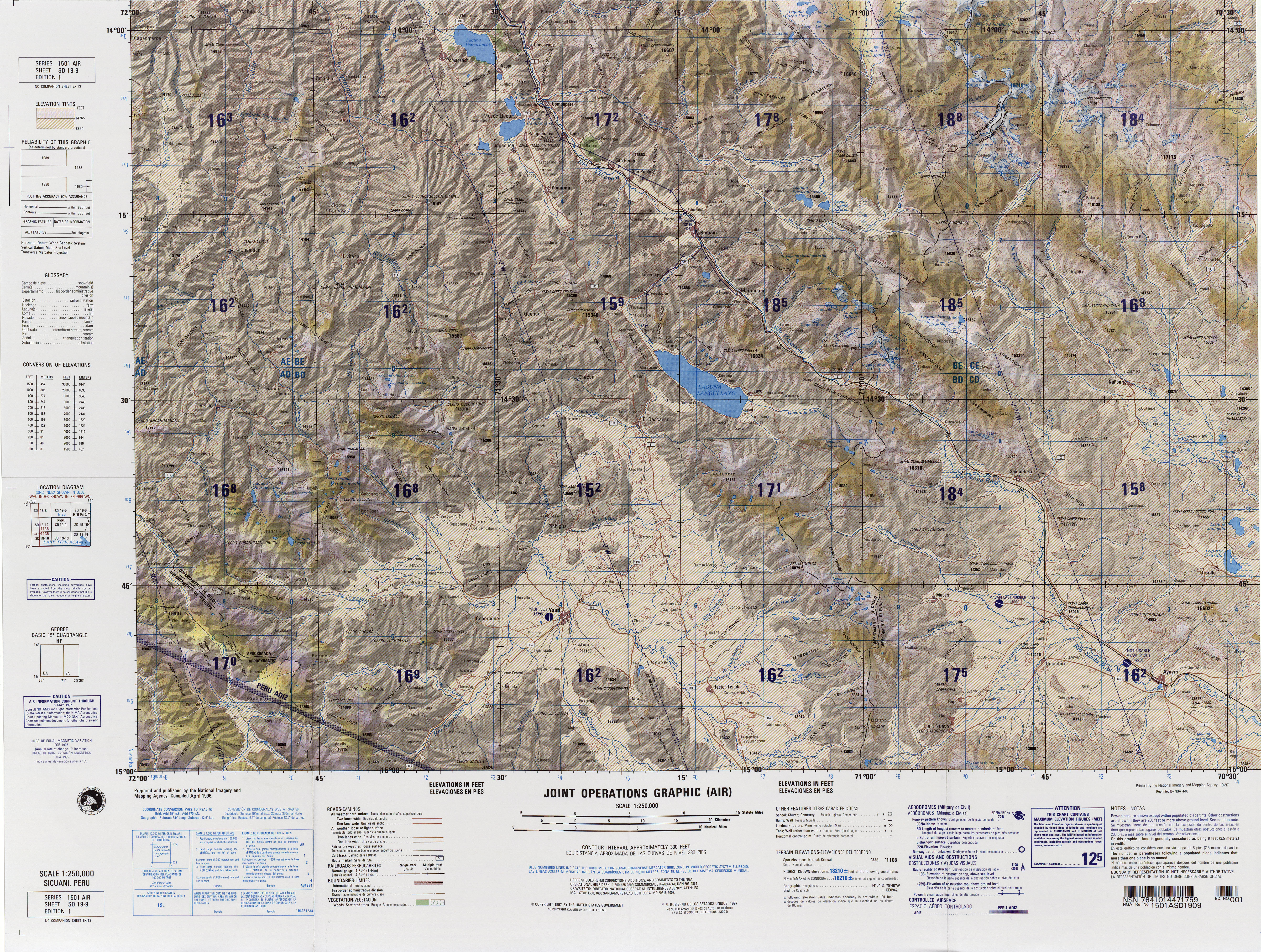
T'aqañawi or T'aqa Ñawi (Quechua t'aqa separation, a group of separated things of the same kind, ñawi eye,[2] "separated eye", hispanicized names Tacañahui, Toccañahui, Tocañahui) is a mountain in the Andes of Peru, about 4,380.9 metres (14,373 ft) high. It is situated in the Puno Region, Melgar Province, in the districts Ayaviri and Umachiri. T'aqañawi lies near Ayaviri at a plain called Pampa T'aqañawi (Pampa Tacañahui).[3]
References
- ↑ "South America Maps". Joint Operations Graphic. Retrieved July 19, 2014.
- ↑ Teofilo Laime Ajacopa, Diccionario Bilingüe Iskay simipi yuyayk'ancha, La Paz, 2007 (Quechua-Spanish dictionary)
- ↑ escale.minedu.gob.pe - UGEL map of the Melgar Province (Puno Region)