Sutton, Essex
| Sutton | |
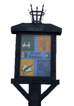 Sutton with Shopland Sign |
|
 Sutton |
|
| Population | 127 (2001) |
|---|---|
| OS grid reference | TQ887893 |
| Civil parish | Sutton |
| District | Rochford |
| Shire county | Essex |
| Region | East |
| Country | England |
| Sovereign state | United Kingdom |
| Post town | Rochford |
| Postcode district | SS4 |
| Dialling code | 01702 |
| Police | Essex |
| Fire | Essex |
| Ambulance | East of England |
| EU Parliament | East of England |
Coordinates: 51°34′16″N 0°43′17″E / 51.570985°N 0.721510°E
Sutton is a civil parish in the District of Rochford in Essex, England. It is located between the River Roach and the adjoining Borough of Southend on Sea, and includes the Hamlet of Shopland. It has a population of 127,[1] the smallest in the District, although at the time of the Domesday Book it had a flourishing village with its own market and fair.[2]

The area is known locally as Sutton with Shopland. The civil parish of Shopland was amalgamated with Sutton in 1933.[3] When Shopland Church was demolished following bomb damage, artifacts were removed and went to Sutton Church and others. Shopland churchyard is rededicated every year.[4]
Sutton Road (B1015) is approximately 3 miles (5 km) long and runs from the Anne Boleyn Public House on Southend Road in Rochford to Southchurch Road in Southend on Sea.
Sutton with Shopland is rural with large farms, and is bordered by industrial estates on its northern (Purdeys Industrial Estate) and southern (Chandlers Way/Temple Farm Industrial Estate) borders.
Church
All Saints Church is of Norman origin and boasts a medieval coffin lid and brass of 1371 from the demolished ancient church at Shopland. The brass depicts Sir Thomas Stapel, Sergeant at Arms to Edward III, in armour such as he would have worn at the Battle of Crecy.[2]

References
- ↑ Census 2001
- ↑ 2.0 2.1 Rochford District Council : District Tour
- ↑ A Vision of Britain Through Time : Shopland Civil Parish
- ↑ Barry Summerfield : Clerk to Sutton Parish Council (2009)
External links
![]() Media related to Sutton, Essex at Wikimedia Commons
Media related to Sutton, Essex at Wikimedia Commons