Sule Skerry
| Location | |
|---|---|
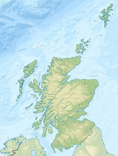 Sule Skerry Sule Skerry shown within Scotland | |
| OS grid reference | HX621244 |
| Physical geography | |
| Island group | North Atlantic |
| Area | 16 ha |
| Highest elevation | 12 m |
| Political geography | |
| Sovereign state | United Kingdom |
| Country | Scotland |
| Council area | Orkney |
| Demographics | |
| Population | 0 |
| References | [1][2][3] |
Sule Skerry is a remote skerry in the North Atlantic off the north coast of Scotland.
Geography
Sule Skerry lies 60 kilometres west of the Orkney Mainland at grid reference HX621244. Sule Skerry's sole neighbour, Sule Stack, lies 10km to the southwest. The remote islands of Rona and Sula Sgeir lie approximately 80km further to the west. Sule Skerry and Sule Stack are both a part of the Orkney Islands council area.
Sule Skerry is 16 ha in area and about 0.8 kilometres long along its length.[4] It reaches a height of 12 meters.[5] It is formed of Lewisian gneiss.[6]
Uses
There is a lighthouse at the centre high point of the island and a number of small cairns around the periphery.
According to the Guinness Book of Records, the Sule Skerry lighthouse was the most remote manned lighthouse in Great Britain from its opening in 1895 to its automation in 1982. Its remote location meant that construction could only take place during the summer, thus it took from 1892-94 to complete.
A meteorological buoy used in Met Office's Marine Automatic Weather Station (MAWS) Network is located off Sule Skerry. Results from the buoy are used in the Shipping Forecast.
Biology
Sule Skerry together with Sule Stack are listed as a Special Protection Area as they are home during the breeding season to thousands of puffins and gannets and smaller numbers of the rarer Leach's Storm Petrel and Storm Petrels. Note that Leach's petrel visit the island but breeding is not proved. Since the first visiting birds in 2003 there is now a large breeding population of Gannet; a possible overflow from nearby Sule Stack.
Every year the puffins and other seabirds on sule skerry are monitored by a team of birders called the sule skerry ringing group. They have been monitoring the seabirds on the island since 1975.
The island is tree-less, since few trees would withstand the high winds of winter and salt spray environment. The dominant plant is maritime mayweed (Tripleurospermum maritimum).
Folklore
The Great Silkie of Sule Skerry is a story of a Silkie who lives on Sule Skerry.
See also
References
- ↑ National Records of Scotland (15 August 2013) (pdf) Statistical Bulletin: 2011 Census: First Results on Population and Household Estimates for Scotland - Release 1C (Part Two). "Appendix 2: Population and households on Scotland’s inhabited islands". Retrieved 17 August 2013.
- ↑ Haswell-Smith, Hamish (2004). The Scottish Islands. Edinburgh: Canongate. ISBN 978-1-84195-454-7.
- ↑ Ordnance Survey. Get-a-map (Map). 1:25,000. Leisure. Ordinance Survey. Retrieved 21 August 2013.
- ↑ SPA description
- ↑ National Geospatial-Intelligence Agency: Sailing Directions (Enroute), Pub. 141, Scotland.
- ↑ Kirton, S.R.; Hitchen, K. (1987). "Timing and style of crustal extension N of the Scottish mainland". In Coward M.P., Dewey J.F. & Hancock P.L. Continental Extensional Tectonics. Special Publications 28. London: Geological Society. pp. 501–510. ISBN 978-0-632-01605-1.
External links
| Wikimedia Commons has media related to Sule Skerry. |