Strehaia
| Strehaia | |
|---|---|
| Town | |
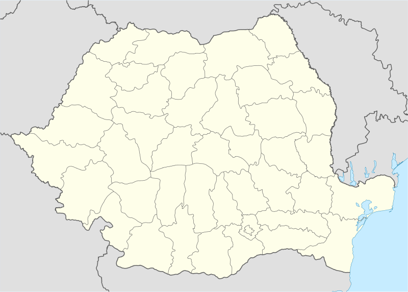 Strehaia Location of Strehaia | |
| Coordinates: 44°37′20″N 23°11′50″E / 44.62222°N 23.19722°ECoordinates: 44°37′20″N 23°11′50″E / 44.62222°N 23.19722°E | |
| Country |
|
| County | Mehedinţi County |
| Status | Town |
| Government | |
| • Mayor | Simion Burcu (National Liberal Party) |
| Area | |
| • Total | 108.64 km2 (41.95 sq mi) |
| Population (2002) | |
| • Total | 11,846 |
| Time zone | EET (UTC+2) |
| • Summer (DST) | EEST (UTC+3) |
Strehaia (Romanian pronunciation: [streˈhaja]) is a town in Mehedinţi County, Oltenia, Romania. It is situated 25 km west of Filiaşi, on the Motru River valley. Forests in the vicinity are home to the largest Herman's Tortoise colonies in Oltenia.
Nine villages are administered by the town: Ciochiuţa, Comanda, Hurduceşti, Lunca Banului, Menţi, Motruleni, Slătinicu Mare, Slătinicu Mic and Stănceşti.
Demographics
At the 2011 census, the town had a population of 9,837. Of these, 88.79% were Romanians and 11.11% Roma; 99.4% were Romanian Orthodox.
History
| Historical population | ||
|---|---|---|
| Year | Pop. | ±% |
| 1930 | 7,870 | — |
| 1948 | 7,776 | −1.2% |
| 1956 | 8,545 | +9.9% |
| 1966 | 9,768 | +14.3% |
| 1977 | 11,271 | +15.4% |
| 1992 | 12,324 | +9.3% |
| 2002 | 12,564 | +1.9% |
| 2011 | 9,837 | −21.7% |
| Source: Census data | ||
Strehaia was first mentioned in documents of the 15th century. As an alternative location for the residence of Oltenian Bans during the early Craioveşti rules, the town still features the foundation of the Banate estate house; it had replaced Severin due to frequent Ottoman attacks, and was in turn replaced by Craiova, remaining a largely rural locality.
The Monastery of Strehaia was built by Wallachian Prince Matei Basarab in 1645. In 1671, a cattle fair was organized in the town, a regular event which contributed to the town's development. Strehaia was the site of skirmishes between the Pandurs of Tudor Vladimirescu and troops loyal to Scarlat Callimachi, during the Wallachian uprising of 1821.
The estates of Prince Antoine Bibesco were located near Strehaia.
Natives
- Nicolae Popescu (b. 1937), mathematician
| Wikimedia Commons has media related to Strehaia. |