Strawberry Range
| Strawberry Range | |
|---|---|
|
Lower Strawberry Lake with the Palisades in the background | |
| Highest point | |
| Peak | Strawberry Mountain[1] |
| Elevation | 2,750 m (9,020 ft) |
| Coordinates | 44°18′45″N 118°43′00″W / 44.3123805°N 118.7166106°W [2] |
| Geography | |
|
<div style="padding:2px 2px 5px 2px;> 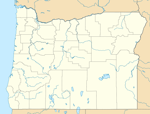 Location of Strawberry Range in Oregon | |
| Country | United States |
| State | Oregon |
| District | Grant County |
| Range coordinates | 44°18′30″N 118°35′04″W / 44.3082°N 118.5844°WCoordinates: 44°18′30″N 118°35′04″W / 44.3082°N 118.5844°W |
| Topo map | USGS Roberts Creek |

The Strawberry Range, also known as the Strawberry Mountains, is a mountain range in the U.S. state of Oregon.[2] It is east of John Day, within Malheur National Forest. The highest peak is Strawberry Mountain.[3]
The Strawberry Range is part of the larger Blue Mountains range, and contains the Strawberry Mountain Wilderness. Pioneers named Strawberry Mountain after observing prolific wild strawberries growing in a nearby valley.[4]
The area has extremely diverse ecological composition, which includes five of seven major life zones in North America. Indigenous populations of Rocky Mountain Elk exist as well as mule deer, antelope, black bear, cougar, California bighorn sheep, ruffed and blue grouse, pileated woodpecker, sharp-shinned hawk, bald eagle, pine marten, mink, beaver. There are 378 animal and 22 fish species present.[3]
Normal hiking season is July to November, though snow may be encountered at any time of the year at higher elevations.[3]
References
- ↑ "Strawberry Mountain". Geographic Names Information System. United States Geological Survey. Retrieved 2010-07-02.
- ↑ 2.0 2.1 "Strawberry Range". Geographic Names Information System. United States Geological Survey.
- ↑ 3.0 3.1 3.2 "Malheur National Forest - Recreational Activities". US Forest Service. Retrieved 2008-12-05.
- ↑ "Strawberry Mountain hike". The Oregonian. September 26, 2007. Retrieved 2008-12-05.