Straduny
| Straduny | |
|---|---|
| Village | |
|
Church in Straduny | |
 Straduny | |
| Coordinates: 53°53′N 22°21′E / 53.883°N 22.350°E | |
| Country |
|
| Voivodeship | Warmian-Masurian |
| County | Ełk |
| Gmina | Gmina Ełk |
| Population | 990 |
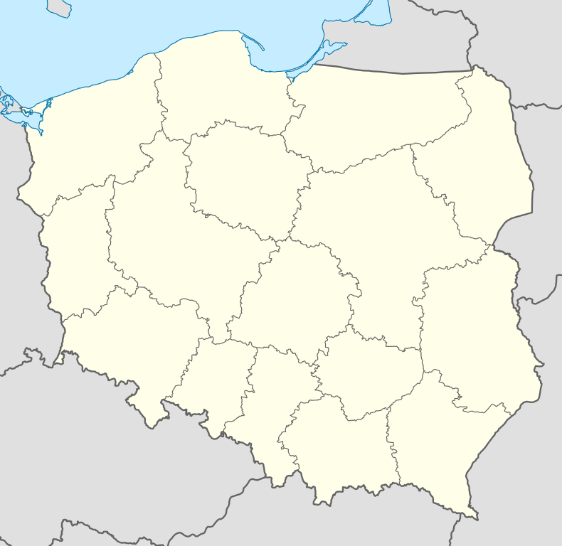
Straduny [straˈdunɨ] (formerly German Stradaunen) is a village in the administrative district of Gmina Ełk, within Ełk County, Warmian-Masurian Voivodeship, in northern Poland.[1] It lies approximately 7 kilometres (4 mi) north of Ełk and 123 km (76 mi) east of the regional capital Olsztyn. It has approximately 990 inhabitants. There are three nature reserves in the vicinity.
History
The village was officially founded in 1475 as Straudenen by Bernhard von Balzhofen, Komtur of Brandenburg, as part of the monastic state of the Teutonic Knights.
The names Straudenen and Straduny derive from the Latin strada una, meaning "a street"; the village was located at a junction in Masuria between the Teutonic Knights and the Grand Duchy of Lithuania during the Middle Ages.
As Stradaunen, the village became part of the Duchy of Prussia in 1525 after the secularization of the Teutonic Knights. Stradaunen was included within the Kingdom of Prussia in 1701 and the German Empire in 1871. From 1818–1945, it was administered within Landkreis Lyck in East Prussia.
In a plebiscite after World War I to determine if the village would remain in the German Reich or become part of the Second Polish Republic, the majority of voters chose to remain in German East Prussia.
Stradaunen was largely untouched by fighting during World War II. Because the church's rectory was used by Wehrmacht staff, it was destroyed shortly before the arrival of the Soviet Red Army on 18 January 1945. The Wehrmacht destroyed three nearby bridges over the River Lyck in order to impede the Red Army; two of the bridges were rebuilt by German prisoners of war after hostilities ended.
In 1945 the village was placed under Polish administration according to the Potsdam Agreement and renamed Straduny. The last Lutheran service at the Church of St. Leonart was held on 29 October 1944; it was reconsecrated as a Roman Catholic church on 3 May 1946.
After the fall of the Iron Curtain, Straduny began to be visited by German tourists.
References
Further reading
- Winfried Holzlehner: Stradaunen — Aus der Geschichte eines masurischen Dorfes, Güstrow, 2004, 156 S. (German)
- Stradaunen (mit Domäne Stradaunen, Gut Stradaunen, Felsenhof, Johannisberg, Loebelshof), in: Reinhold Weber: Bildband des Grenzkreises Lyck, Hagen, 1985, S. 437-442 (German)
External links
- History of the village (German)