Stony Ridge, Ohio
| Stony Ridge, Ohio | |
|---|---|
| CDP | |
|
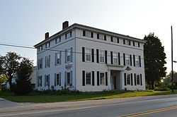
The Empire House | |
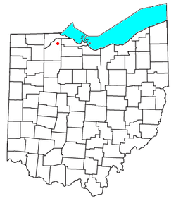 Location of Stony Ridge, Ohio | |
| Coordinates: 41°30′35″N 83°30′26″W / 41.50972°N 83.50722°W | |
| Country | United States |
| State | Ohio |
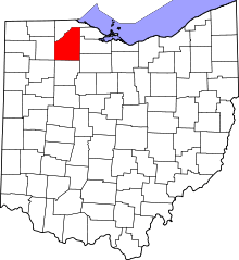
| County | Wood |
| Area | |
| • Total | 1.7 sq mi (4.4 km2) |
| • Land | 1.7 sq mi (4.4 km2) |
| • Water | 0 sq mi (0 km2) |
| Population (2010) | |
| • Total | 411 |
| • Density | 240/sq mi (93/km2) |
| Time zone | Eastern (EST) (UTC-5) |
| • Summer (DST) | EDT (UTC-4) |
| ZIP code | 43463 |
| Area code(s) | 419 |
Stony Ridge is a census-designated place (CDP) in northwestern Troy Township, Wood County, Ohio, United States. As of the 2010 census, it had a population of 411.[1] Although it is unincorporated, it has a post office, with the ZIP code of 43463.[2]
Geography
It is located along the concurrent U.S. Routes 20 and 23, at Stony Ridge Road and East Broadway. It contains a branch of the Pemberville Public Library, a community park, Stony Ridge United Methodist Church, and St. John's Lutheran Church.
According to the U.S. Census Bureau, the CDP has an area of 1.7 square miles (4.4 km2), all land.[1]
References
- ↑ 1.0 1.1 "Geographic Identifiers: 2010 Demographic Profile Data (G001): Stony Ridge CDP, Ohio". U.S. Census Bureau, American Factfinder. Retrieved January 22, 2013.
- ↑ Zip Code Lookup
| |||||||||||||||||||||||||||||||||
Coordinates: 41°30′27″N 83°30′34″W / 41.50750°N 83.50944°W