Stąpławki
| Stąpławki | |
|---|---|
| Village | |
 Stąpławki | |
| Coordinates: 54°0′53″N 21°15′21″E / 54.01472°N 21.25583°E | |
| Country |
|
| Voivodeship | Warmian-Masurian |
| County | Kętrzyn |
| Gmina | Reszel |
| Population | 48 |
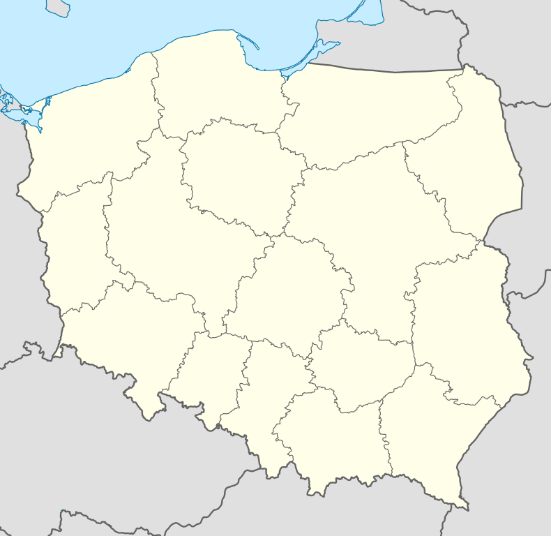
Stąpławki [stɔmˈpwafki] (German: Stumplack; until 1928: Adlig Stumplack) is a village in the administrative district of Gmina Reszel, within Kętrzyn County, Warmian-Masurian Voivodeship, in northern Poland.[1] It lies approximately 9 kilometres (6 mi) south-east of Reszel, 12 km (7 mi) south-west of Kętrzyn, and 56 km (35 mi) north-east of the regional capital Olsztyn.
Before 1945 the area was part of Germany (East Prussia).
The village has a population of 48.
References
Coordinates: 54°0′53″N 21°15′21″E / 54.01472°N 21.25583°E
