Spring Lake State Fish and Wildlife Area
| Spring Lake State Fish and Wildlife Area | |
|---|---|
|
IUCN category IV (habitat/species management area) | |
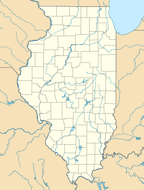
 Map of the U.S. state of Illinois showing the location of Spring Lake State Fish and Wildlife Area | |
| Location | Tazewell County, Illinois, United States |
| Nearest city | Manito, Illinois |
| Coordinates | 40°28′27″N 89°50′48″W / 40.47417°N 89.84667°WCoordinates: 40°28′27″N 89°50′48″W / 40.47417°N 89.84667°W |
| Area | 2,032 acres (822 ha) |
| Established | 1950 |
| Governing body | Illinois Department of Natural Resources |
Spring Lake State Fish and Wildlife Area is an Illinois state park on 2,032 acres (822 ha) in Tazewell County, Illinois, United States.
The state park is centered on Spring Lake, an 8.5-mile (13.7 km) long alluvial lake that lies parallel to the Illinois River. The lakebed lies by the foot of the river's sandstone bluff in an abandoned bed of the river. It is a shallow lake that is no more than 10 feet (3.0 m) deep.
The lake, located in the southwestern corner of Tazewell County, has been extensively altered by dikes built in the 1900s (decade) and the 1950s. The second dike system was built around both old Spring Lake and a second, smaller lake, Saiwell Lake, and caused the two lakes to almost merge into each other. The two lakes are now only separated by a spur dike, and both lakes are now called halves of modern Spring Lake.
The nearest major town is Manito, Illinois.
Fishing
Spring Lake is managed by the Illinois Department of Natural Resources (IDNR) for largemouth bass, bluegill, bullhead, carp, channel catfish, crappie, muskie, northern pike, and sunfish. The water of the lake, fed by abundant local springs, is cooler than most Illinois River lakes.
There are four boat launching ramps. IDNR enforces a power limit of 25 horsepower (19 kW) in the lake.
References
- "Spring Lake State Fish and Wildlife Area". Illinois Department of Natural Resources. Retrieved 2007-05-25.
- USGS. "Spring Lake State Park, USGS Manito (IL) Quad". TopoQuest. Retrieved 2008-07-05.