Splügen Castle
| Splügen Castle | |
|---|---|
| Burg Splügen | |
| Splügen | |
 Splügen Castle | |
 Splügen Castle | |
| Coordinates | 46°33′24″N 9°20′04″E / 46.55667°N 9.33444°ECoordinates: 46°33′24″N 9°20′04″E / 46.55667°N 9.33444°E |
| Type | motte-and-bailey castle |
| Code | CH-GR |
| Area | 18 × 20 m (59 × 66 ft) |
| Site information | |
| Condition | ruin |
| Site history | |
| Built | around 1275 |
| Materials | rubblestone, gravel |
| Garrison information | |
| Occupants | free nobility |
| Airfield information | |
| Elevation | 1,518 m (4,980 ft) AMSL |
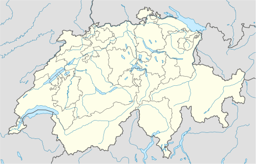
The ruins of the former Splügen Castle (German: Burg Splügen) lie east of the village of Splügen in the Rheinwald forest in the Swiss canton of Graubünden. It is the only castle in the valley.
Location
The ruins lie just under one kilometre east of the village on a small hill below the former valley road that ran from the Via Mala over the Splügen and San Bernardino Passes. It is an easy ten minute walk from the village along a lane. It is not possible to drive to the castle.
Description

The ruins of a fortified, double-winged palas and an enceinte (Bering) are visible on the northern side by the old road. Three of the walls, which are well over a metre thick, have survived; the east wall facing the valley has collapsed. The quoins have a clear border (Kantenschlag). One additional wall divides the site into an eastern and western half.
The elevated entrance with its Gothic archway, with jambs made of tuff, lies at about four metres above the ground on the northern side and leads to the first floor. Beam holes on the exterior show where the staircase access was. The doors turned in a carefully hewn out stone ring and could be locked with a bar.
In the lower two storeys were cellars and storerooms that were only lit by narrow window slits. In the western area of the third floor were the living quarters, as can be seen from the remains of weathered windows with their niches for seating and from the fireplace. An exit leads out to a small balcony or garderobe. Nothing is known about the shape of the roof. The kitchen was in the eastern, less well lit area.
The northern curtain wall is filled with rubble. It is possible that stables and outbuildings stood here. There was probably an external portal in the, now collapsed, eastern wall.
In the area of the old road there are traces of a barrier wall called a Letzi guarding the valley further upstream.
History

The architectural form of Splügen Castle, with its door and window shapes and doorjambs made of tuff, match well to the second half of the 13th century; and it may have been built around 1275. In that period the valley in the Rheinwald was part of the territory of the County of Schams which, as a fief of the Prince-Bishopric of Chur, was given to the barons of Vaz and, later, the counts of Werdenberg. The barons of Sax-Misox tried to manage their territory of Misox over the San Bernardino by settling Walsers there. In 1274 they wrote out a letter (Schirmbrief) in Mesocco to a group of Walsers.
The appearance of Walsers on the border of their territory must have alarmed the barons of Vaz, however they sought to extend their rule into the sparsely populated valleys. In 1277 the Walsers came under the protection of the Vaz family.
See also
- List of castles in Switzerland
Literature
- Fritz Hauswirth: Burgen und Schlösser in der Schweiz. Vol. 8. Neptun, Kreuzlingen, 1972.
- Otto P. Clavedetscher, Werner Meyer: Das Burgenbuch von Graubünden. Zürich/Schwäbisch Hall, 1984.
- Werner Meyer: Burgen der Schweiz. Band 3. Silva, Zürich, 1983.
External links
| Wikimedia Commons has media related to Splügen Castle. |
| ||||||||||