Speed, Missouri
| Speed, Missouri | |
|---|---|
| Unincorporated community | |
 Speed | |
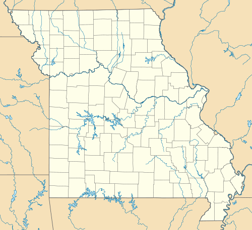
| Coordinates: 38°50′53″N 92°48′12″W / 38.84806°N 92.80333°WCoordinates: 38°50′53″N 92°48′12″W / 38.84806°N 92.80333°W | |
| Country |
|
| State |
|
| County | Cooper County |
| Township | Palestine Township |
| Elevation | 204 m (669 ft) |
| ZIP code | 65233 |
| GNIS feature ID | 0726840 |
Speed is an unincorporated community in Palestine Township, Cooper County, Missouri, United States.
History
Speed had its start in 1869 when it was laid out on the railroad line.[1] Speed was the name of a family.[2]
Geography
Speed is located at 38°50′53″N 92°48′12″W / 38.84806°N 92.80333°W at an elevation of 669 feet.
References
- ↑ Earngey, Bill (1995). Missouri Roadsides: The Traveler's Companion. University of Missouri Press. p. 13.
- ↑ Eaton, David Wolfe (1916). How Missouri Counties, Towns and Streams Were Named. The State Historical Society of Missouri. p. 281.
| |||||||||||||||||||||||||
