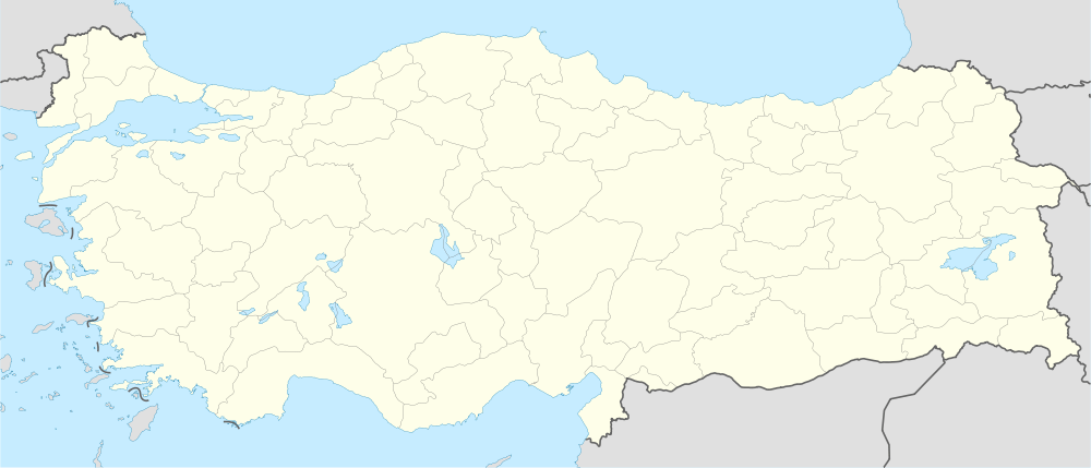
Silopi
| Silopi | |
|---|---|
 Silopi | |
| Coordinates: 37°16′0″N 42°29′0″E / 37.26667°N 42.48333°ECoordinates: 37°16′0″N 42°29′0″E / 37.26667°N 42.48333°E | |
| Country | Turkey |
| Province | Şırnak |
| Government | |
| • Mayor | Emine Esmer (BDP) |
| • Kaymakam | Bünyamin Yıldız |
| Area[1] | |
| • District | 730.29 km2 (281.97 sq mi) |
| Population (2012)[2] | |
| • Urban | 84,157 |
| • District | 114,754 |
| • District density | 160/km2 (410/sq mi) |
| Post code | 73400 |
| Website |
www |

Silopi is a district of Şırnak Province in Turkey's Southeastern Anatolia Region, close to the border with Iraq. The district, composed of Silopi center, 3 depending townships with own municipalities and 23 villages has an urban population of 73,400 (2009 census) .
The Habur frontier gate, the only major crossing between Turkey and Iraq, is situated within the district of Silopi and is a decisive factor in the region's economy, both in Turkey and in beyond the Iraqi border. Queues of lorries waiting for customs and security clearance that sometimes reach a few dozens of kilometers on the motorway connecting the two countries are a common sight. The Khabur River, which carries the same name as the frontier gate, crosses in the district territory and joins the Tigris here. The Kirkuk-Ceyhan Oil Pipeline also crosses the district.
See also
References
- ↑ "Area of regions (including lakes), km²". Regional Statistics Database. Turkish Statistical Institute. 2002. Retrieved 2013-03-05.
- ↑ "Population of province/district centers and towns/villages by districts - 2012". Address Based Population Registration System (ABPRS) Database. Turkish Statistical Institute. Retrieved 2013-02-27.