Sila National Park
| Parco Nazionale della Sila | |
|---|---|
|
IUCN category II (national park) | |
|
Lake Ariamacina, Sila National Park | |
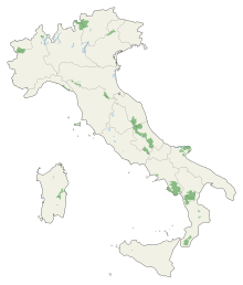
 Sila Location of park | |
| Location | Calabria |
| Nearest city | Crotone |
| Coordinates | 39°22′34″N 16°35′31″E / 39.37611°N 16.59194°ECoordinates: 39°22′34″N 16°35′31″E / 39.37611°N 16.59194°E |
| Area | 736.95 km2 (284.54 sq mi) |
| Established | 1997 |
| Governing body | Ministero dell'Ambiente |
| http://www.parks.it/parco.nazionale.sila/Eindex.php | |

Sila National Park was established in 1997 and covers about 74,000 ha of charming and wild areas in Calabria. Besides offering exciting landscapes stretching out towards Pollino, Aspromonte, Etna, the Ionian and Tyrrhenian Sea, it is also characterized by the presence of several rural and tourist villages and a very rich artistic and cultural heritage. Its highest mountains are Mt. Botte Donato (1,928m), in Sila Grande, and Mt. Gariglione (1,764m) in Sila Piccola.
References
- Yearbook of the Italian Parks 2005, edited by Comunicazione in association with Federparchi and the Italian State Tourism Board ISBN 88-7585-011-9