Sierra de las Ánimas
| Sierra de las Ánimas | |
|---|---|
|
Cerro Pan de Azúcar | |
| Highest point | |
| Peak | Cerro de las Ánimas |
| Elevation | 501 m (1,644 ft) |
| Coordinates | 34°48′33″S 58°15′31″W / 34.80917°S 58.25861°W |
| Geography | |
|
<div style="padding:2px 2px 2px 2px;> 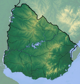 | |
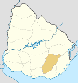
| Country | Uruguay |
| Range coordinates | 34°36′S 55°17′W / 34.6°S 55.28°WCoordinates: 34°36′S 55°17′W / 34.6°S 55.28°W |
| Geology | |
| Period | Precambrian |
| Type of rock | Granite, gneiss |

Sierra de las Ánimas is a hill range which starts in Lavalleja Department of Uruguay and extends south into Maldonado Department where it includes one of the highest peaks of Uruguay, the top of Cerro de las Ánimas 501 metres (1,644 ft), near the towns Gregorio Aznárez and Las Flores. It is the only elevated landform of volcanic origin in Uruguay.
It is a branch of the Cuchilla Grande which extends north - northeast through Treinta y Tres Department into Cerro Largo Department.
| |||||||||||||||||
| |||||||||||||||||
