Shey Phoksundo National Park
| Shey Phoksundo National Park | |
|---|---|
|
IUCN category II (national park) | |
|
Phoksundo Lake | |
 | |
| Location | Nepal |
| Coordinates | 29°21′29″N 82°50′44″E / 29.3581°N 82.8456°ECoordinates: 29°21′29″N 82°50′44″E / 29.3581°N 82.8456°E |
| Area | 3,555 km2 (1,373 sq mi) |
| Established | 1984 |
| Governing body | Department of National Parks and Wildlife Conservation, Ministry of Forests |
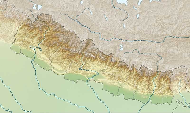
The Shey Phoksundo National Park is the largest and only trans-Himalayan national park in Nepal. It was established in 1984 and covers an area of 3,555 km2 (1,373 sq mi) in the districts of Dolpa and Mugu in the northwestern part of the country. The protected area ranges in elevation from 2,130 m (6,990 ft) to 6,883 m (22,582 ft). Phoksundo Lake is the park's prominent feature, located at an elevation of 3,612 m (11,850 ft).[1]
The park's headquarters are in Palam, Dolpa District.
Features
Shey Phoksundo National Park provides a diversity of spectacular landscapes and ranks among the most scenic mountain parks in the world. Much of the park lies north of the Himalayan crest. Elevations range from 2,130 m (6,990 ft) in the southeast near Ankhe to 6,883 m (22,582 ft) at the summit of Kanjiroba Himal, which lies at the southern edge of the Tibetan plateau. Phoksundo Lake lies at an elevation of 3,660 m (12,010 ft) in the upper reaches of the Suligad river. It is surrounded by glaciers and famous for its magnificent turquoise color. Near the lake’s outlet is the country’s highest waterfall.[1]
Phoksundo Lake has a water surface of 494 ha (1,220 acres), and was declared a Ramsar site in September 2007.[2] The lake is up to 145 m (476 ft) deep, measured using echo-sounding technology.[3]
The Langu river drains the high Dolpo plateau located in the north-east of the park. The Suligad and Jugdual rivers form the southern catchment flowing south into the Thuli Bheri river.[4]
Climate
Spanning the northern and southern aspects of the Himalayan crest, the park experiences a wide climatic range and lies in the transition zone from a monsoon dominated to an arid climate. Annual precipitation reaches 1,500 mm (59 in) in the south, whereas on northern slopes less than 500 mm (20 in) of rain falls. Most of the precipitation occurs during monsoon from July to September. The Dhaulagiri and Kanjiroba massifs form a massive barrier preventing most of the rain from reaching the Trans-Himalayan area. Winters are quite severe with frequent snowfalls above 2,500 m (8,200 ft) and temperatures remaining below freezing above 3,000 m (9,800 ft) through much of the winter.
Flora and fauna
The flora found within the park is exteremely diverse. The northern regions contain barren areas of the upper Himalayas. The Trans-Himalayan slope lands consist of some rhododendron, caragana shrubs, salix, juniper, white Himalayan birch, and the occasional silver fir dominate the high meadows of the Himalayas. Less than five percent of the park is forested, with much of it lying in the southern portion. The Suligad Vally’s flora consists of blue pine, spruce, hemlock, cedar, silver fir, poplar, rhododendron, and bamboo. The park also contains 286 species of ethnobotanical importance.
The park provides important habitat for endangered species including the snow leopard, grey wolf, musk deer, and blue sheep. Goral, great Tibetan sheep, Himalayan tahr, leopard, jackal, Himalayan black bear and yellow-throated marten are also found in the park. The park is home to six reptiles and 29 species of butterfly, including the highest flying butterfly in the world, Paralasa nepalaica. The park provides habitat for over 200 species of birds, such as Tibetan partridge, wood snipe, white-throated tit, wood accentor and crimson-eared rosefinch.
Culture
The park contains many gompas and religious sites, many of which have been renovated. Shey Gompa, the most famous, was established in the 11th century. Thashung Gompa located near Phoksundo Lake was built about 900 years ago to conserve wildlife. Ringmo village, a typical Tibetan village, is scenically nestled in the park.[1]
The park is home to more than 9,000 people, and their villages are among the highest settlements on earth. The local people are subsistence farmers growing potatoes, buckwheat, mustard, beans and some barley; and keeping livestock for food and wool. They barter with Tibetans for salt and wool. Their lifestyle is typically Tibetan. Most of them are Buddhists; the people around Phoksundo area practice Bön. There are communal gompas in most of the villages.[4]
References
- ↑ 1.0 1.1 1.2 Bhuju, U. R., Shakya, P. R., Basnet, T. B., Shrestha, S. (2007). Nepal Biodiversity Resource Book. Protected Areas, Ramsar Sites, and World Heritage Sites. International Centre for Integrated Mountain Development, Ministry of Environment, Science and Technology, in cooperation with United Nations Environment Programme, Regional Office for Asia and the Pacific. Kathmandu, ISBN 978-92-9115-033-5
- ↑ Bhandari, B. B. (2009). Wise use of Wetlands in Nepal. Banko Janakari 19 (3): 10–17.
- ↑ Anonymous (2004). Rara is Nepal’s deepest lake: Survey. Nepalnews.com
- ↑ 4.0 4.1 Majupuria, T. C., Kumar, R. (1998). Wildlife, National Parks and Reserves of Nepal. S. Devi, Saharanpur and Tecpress Books, Bangkok. ISBN 974-89833-5-8
External links
- Information of the Department of National Parks and Wildlife Conservation
- Trek to Shey Phoksumdo Lake with Images
| ||||||||||||||||||||||
