Shenandoah Farms, Virginia
| Shenandoah Farms, Virginia | |
|---|---|
| Census-designated place | |
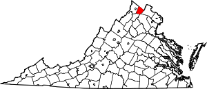
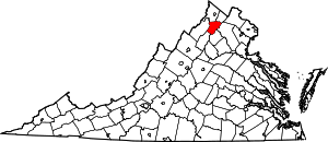
 Shenandoah Farms, Virginia Location within the Commonwealth of Virginia | |
| Coordinates: 38°58′15″N 78°2′28″W / 38.97083°N 78.04111°WCoordinates: 38°58′15″N 78°2′28″W / 38.97083°N 78.04111°W | |
| Country |
|
| State |
|
| County |
|
| Population (2010) | |
| • Total | 3,033 |
| Time zone | Eastern (EST) (UTC-5) |
| • Summer (DST) | EDT (UTC-4) |
| ZIP codes | 22630, 22642 |
| FIPS code | 51-71810 |
| GNIS feature ID | 2629750 |
Shenandoah Farms is a census-designated place in northeastern Warren County, Virginia, with a small portion in neighboring Clarke County. The population as of the 2010 United States Census was 3,033.[1] It is a recreational community built on the western slope of Blue Ridge Mountain and the banks of the Shenandoah River.
References
- ↑ Virginia Trend Report 2: State and Complete Places (Sub-state 2010 Census Data). Missouri Census Data Center. Accessed 2011-06-08.
| |||||||||||||||||||||||||
| |||||||||||||||||||||||||