Sheepshead Mountains
| Sheepshead Mountains | |
|---|---|
|
<div style="padding:2px 2px 5px 2px;> 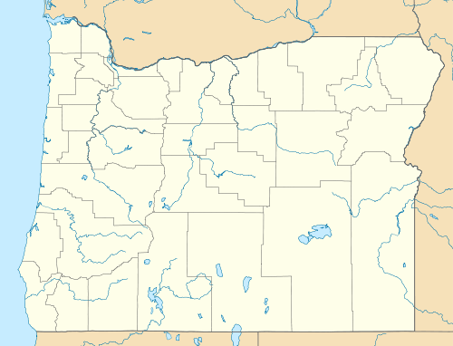 | |
| Highest point | |
| Elevation | 1,704 m (5,591 ft) |
| Geography | |
| Country | United States |
| State | Oregon |
| District | Malheur County |
| Range coordinates | 42°53′37″N 118°08′42″W / 42.8935°N 118.1449°WCoordinates: 42°53′37″N 118°08′42″W / 42.8935°N 118.1449°W |
| Topo map | USGS Ryegrass Butte |
The Sheepshead Mountains are a mountain range in Malheur County, Oregon.[1]