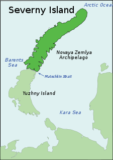
Severny Island
| Native name: <span class="nickname" ">о́стров Се́верный | |
|---|---|
 | |
 Severny Island (Russia) | |
| Geography | |
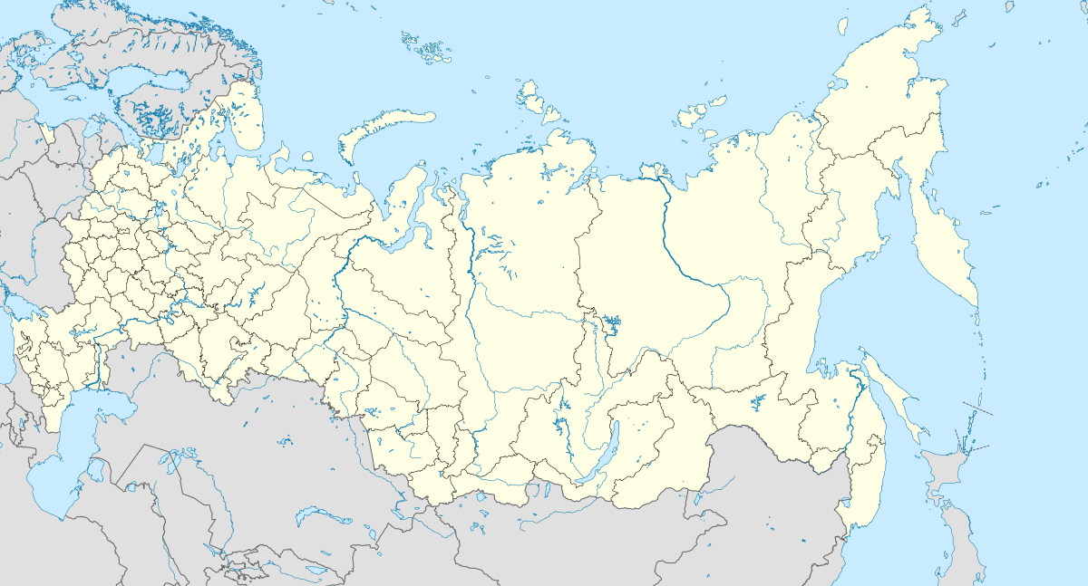
| Location | Arkhangelsk Oblast, Russia |
| Coordinates | 75°30′N 60°00′E / 75.500°N 60.000°ECoordinates: 75°30′N 60°00′E / 75.500°N 60.000°E |
| Archipelago | Novaya Zemlya |
| Area | 48,904 km2 (18,882 sq mi) |
| Area rank | 30th |
| Country | |
|
Russia | |
| Oblast | Arkhangelsk Oblast |
Severny Island (Russian: о́стров Се́верный, Northern Island) is the northern island of the Novaya Zemlya archipelago, lying approx 400 km north of the Russian mainland. It has an area of 48,904 square kilometres (18,882 sq mi), making it the 30th largest island in the world. It is separated from Yuzhny Island (Southern) by the narrow Matochkin Strait. 40% of the island is covered by the Severny Island ice cap which is the largest glacier by volume in Europe (if counted as part of it). Severny Island is known for its numerous glaciers.
Cape Flissingsky is the easternmost point of Severny Island.
Sukhoy Nos cape, located at the southern end of the island, was used for nuclear weapons testing between 1958–1961. Severny is now the site of a Russian Army base and has a harbor.
There is a Meteorological Station at Cape Zhelaniya, Severny's northernmost cape.
See also
References
- F. Romanenko, O. Shilovtseva, Russian-Soviet polar stations and their role in the Arctic Seas exploration.
- "Space Environment Center Contributing Stations, 1995". U.S. National Weather Service – Space Weather Prediction Center. 1995. Retrieved March 14, 2012.
| ||||||