Satelit
_and_Satelit_2010.png)
Satelit (Serbian: Сателит) is a neighborhood of the city of Novi Sad, the capital of the Serbian province of Vojvodina.
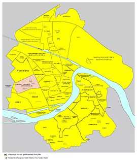
Borders
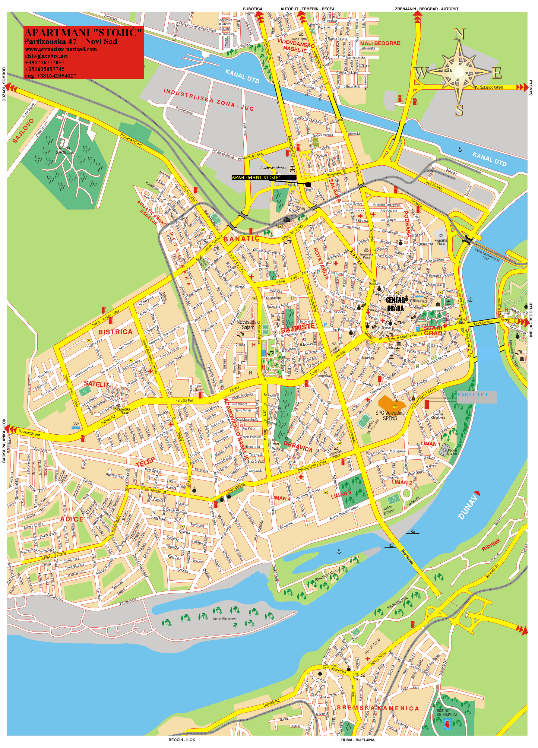
The southern border of Satelit is Futoški put (Futog Road), the western border is Bulevar Kneza Miloša (Knez Miloš Boulevard), and the eastern border is Bulevar Slobodana Jovanovića (Slobodan Jovanović Boulevard). The northern border of the settlement is not precisely defined, but the roughly drawn northern border would be Bulevar Jovana Dučića (Jovan Dučić Boulevard), although there are several blocks of the buildings on the southern side of the Boulevard which are not seen as a part of Satelit.
Neighbouring settlements
The neighbouring settlements of Satelit are: Telep in the south, and Novo Naselje (in the west, north and east), although Satelit itself is seen as a part of Novo Naselje. In the past, Satelit and Novo Naselje were seen as a two separate settlements, but today Satelit is seen as a part of Novo Naselje.
Parts of Satelit
Some of the parts of Satelit are: Mali Satelit (Little Satelit) and Tozinovac.
History
The construction of Satelit began in 1957, when the first houses were built in the area now known as Tozinovac.
Features
Some of the important features of Satelit are: Satelit Market (Satelitska pijaca), "Autokop" (a factory for production of idle parts for cars), and a stadium of "Mladost" football club. There is also an elementary school "Miloš Crnjanski" in the settlement.
Notable citizens
- Dara Bubamara (Rada Adžić), a popular Serbian turbo-folk singer. She grew up in Satelit.
See also
- Bistrica (Novo Naselje)
- Neighborhoods of Novi Sad
References
- Jovan Mirosavljević, Brevijar ulica Novog Sada 1745–2001, Novi Sad, 2002.
- Zoran Rapajić, Novi Sad bez tajni, Beograd, 2002.
External links
| Wikimedia Commons has media related to Satelit. |
- Wetpaint.com, Satelit
- Bgnekretnine.net, Detailed map of Novi Sad and Satelit
-
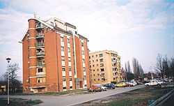
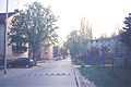
Satelit, Futoški put (Futog Road)
-
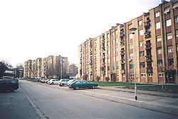
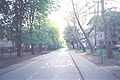
Satelit, Antuna Urbana Street
-
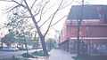
Satelit, Stevana Momčilovića Street
-
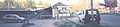
Satelit Market
-
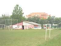
FK Mladost football stadium
| ||||||||||||||||||||
