Sarail Upazila
| Sarail সরাইল | |
|---|---|
| Upazila | |
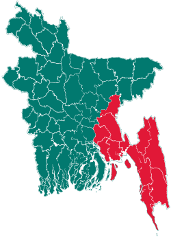
 Sarail Location in Bangladesh | |
| Coordinates: 24°7.1′N 91°7.5′E / 24.1183°N 91.1250°ECoordinates: 24°7.1′N 91°7.5′E / 24.1183°N 91.1250°E | |
| Country |
|
| Division | Chittagong Division |
| District | Brahmanbaria District |
| Area | |
| • Total | 239.52 km2 (92.48 sq mi) |
| Population (1991) | |
| • Total | 254,481 |
| • Density | 1,062/km2 (2,750/sq mi) |
| Time zone | BST (UTC+6) |
| Website | Official Map of Sarail |
Sarail (Bengali: সরাইল) is an Upazila of Brahmanbaria District[1] in the Division of Chittagong, Bangladesh. It is a small part of Bangladesh (ref. Amber, 2014)
Geography
Sarail is located at 24°07′06″N 91°07′30″E / 24.118333°N 91.125°E . It has 43,854 households and a total area of 227.22 km².[1]
Demographics
According to the 1991 Bangladesh census, Sarail had a population of 254,481. Males constituted 50.32% of the population, and females 49.68%. The population aged 18 or over was 120,249. Sarail had an average literacy rate of 22.6% (7+ years), against the national average of 32.4%.[2]
Administration
Chairman: Al-Hajj Advocate Md. Abdur Rahman ( BNP)
Sarail has 9 Unions/Wards, 76 Mauzas/Mahallas, and 146 villages. The Unions are:[1]
- Aorail
- Chunta
- Kalikachchha
- Noagaon
- Pak Shimul
- Sarail
- Shahbazpur
- Shahjadapur
- Uttar Panisar
See also
References
- ↑ 1.0 1.1 1.2 Md. Azad Uddin Thakur (2012). "Sarail Upazila". In Sirajul Islam and Ahmed A. Jamal. Banglapedia: National Encyclopedia of Bangladesh (Second ed.). Asiatic Society of Bangladesh.
- ↑ "Population Census Wing, BBS.". Archived from the original on 2005-03-27. Retrieved November 10, 2006.
| |||||||||||||||||||||||||||||||||||||||||||||||||||||