Sandin, Zamora
| Sandin | |
|---|---|
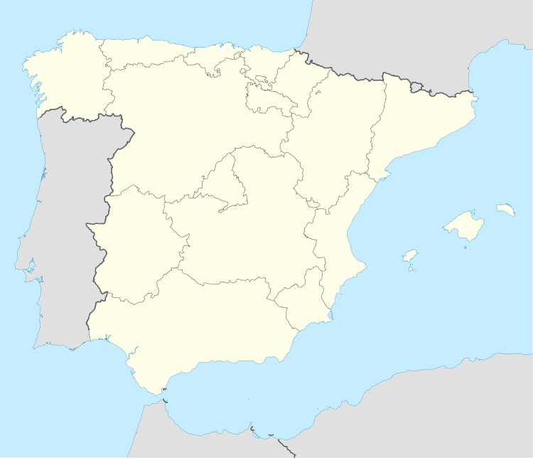 Sandin Location in Spain | |
| Coordinates: 42°0′26.2″N 6°28′45.54″W / 42.007278°N 6.4793167°WCoordinates: 42°0′26.2″N 6°28′45.54″W / 42.007278°N 6.4793167°W | |
| Country |
|
| Autonomous community |
|
| Province |
|
| Comarca | La Carballeda |
| Municipality | Manzanal de Arriba |
| Elevation | 716 m (2,349 ft) |
| Population (2012) | |
| • Total | 35[1] |
| Demonym | Sandinés / Sandinesa |
| Time zone | CET (UTC+1) |
| • Summer (DST) | CEST (UTC+2) |
| Postal code | 49600 |
| Area code | (+34) 980 |
Sandín is a Spanish village of the municipality of Manzanal de Arriba, located in the north of the province of Zamora, in the autonomous community of Castile and León. It has 35 inhabitants (as of 2012)[1] and an altitude of 716 meters.[2]
Overview
It is a small village linking it to the municipality of Manzanal de Arriba, located in the natural zone of the Mountain range of the Snake. Town whose low zone underwent the flood caused by the dam of Cernadilla and that took to its inhabitants to the construction of new houses, in the same way that a new parochial temple. Very near next to it is where it meets Portugal.[3]
The village is 65 km to Zamora and 260 km to Madrid.
See also
References
- ↑ 1.0 1.1 (Spanish) Source: INE 2012
- ↑ "Manzanal de Arriba". www.diputaciondezamora.es. Retrieved 23 November 2014.
- ↑ Sandin Info (todopueblos.com)
External links
- (Spanish) Sandin on todopueblos.com