Saint-Pompain
| Saint-Pompain | |
|---|---|
 Saint-Pompain | |
|
Location within Poitou-Charentes region 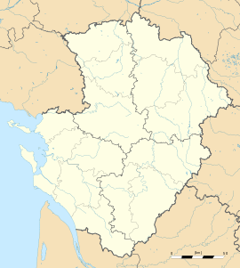 Saint-Pompain | |
| Coordinates: 46°26′32″N 0°35′56″W / 46.4422°N 0.5989°WCoordinates: 46°26′32″N 0°35′56″W / 46.4422°N 0.5989°W | |
| Country | France |
| Region | Poitou-Charentes |
| Department | Deux-Sèvres |
| Arrondissement | Niort |
| Canton | Coulonges-sur-l'Autize |
| Government | |
| • Mayor (2008–2014) | Christian Renou |
| Area1 | 24.28 km2 (9.37 sq mi) |
| Population (2006)2 | 888 |
| • Density | 37/km2 (95/sq mi) |
| INSEE/Postal code | 79290 / 79160 |
| Elevation |
22–73 m (72–240 ft) (avg. 65 m or 213 ft) |
|
1 French Land Register data, which excludes lakes, ponds, glaciers > 1 km² (0.386 sq mi or 247 acres) and river estuaries. 2 Population without double counting: residents of multiple communes (e.g., students and military personnel) only counted once. | |
Saint-Pompain is a commune in the Deux-Sèvres department in western France.
See also
References
| Wikimedia Commons has media related to Saint-Pompain. |