Saint-Léger, Belgium
| Saint-Léger | ||
|---|---|---|
| Municipality | ||
|
The church | ||
| ||
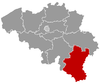
 Saint-Léger Location in Belgium | ||
|
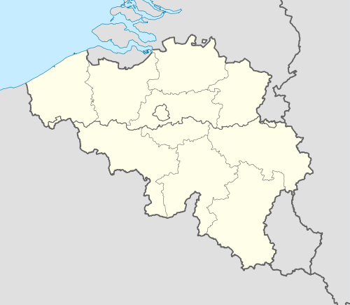
Location of Saint-Léger in Luxembourg province  | ||
| Coordinates: 49°37′N 05°39′E / 49.617°N 5.650°ECoordinates: 49°37′N 05°39′E / 49.617°N 5.650°E | ||
| Country | Belgium | |
| Community | French Community | |
| Region | Wallonia | |
| Province | Luxembourg | |
| Arrondissement | Virton | |
| Government | ||
| • Mayor | Alain Rongvaux (Avenir) | |
| • Governing party/ies | Avenir | |
| Area | ||
| • Total | 35.86 km2 (13.85 sq mi) | |
| Population (1 January 2013)[1] | ||
| • Total | 3,361 | |
| • Density | 94/km2 (240/sq mi) | |
| Postal codes | 6747 | |
| Area codes | 063 | |
| Website | (French) saint-leger.be | |


Saint-Léger is a Walloon municipality of Belgium located in the province of Luxembourg.
On 1 January 2007 the municipality, which covers 35.86 km², had 3,225 inhabitants, giving a population density of 89.9 inhabitants per km².
The municipality includes the communities of Châtillon and Meix-le-Tige.
References
- ↑ Population per municipality on 1 January 2013 (XLS; 607.5 KB)
| Wikimedia Commons has media related to Saint-Léger-en-Gaume. |
| ||||||||||||||||||||||||