Saint-Génis-des-Fontaines
| Saint-Génis-des-Fontaines Sant Genís de Fontanes | |
|---|---|
|
A view of the bell-towers of the old abbaey of Saint-Génis-des-Fontaines | |
 Saint-Génis-des-Fontaines | |
|
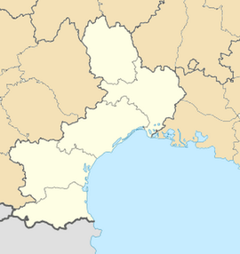
Location within Languedoc-Roussillon region  Saint-Génis-des-Fontaines | |
| Coordinates: 42°32′33″N 2°55′22″E / 42.5425°N 2.9228°ECoordinates: 42°32′33″N 2°55′22″E / 42.5425°N 2.9228°E | |
| Country | France |
| Region | Languedoc-Roussillon |
| Department | Pyrénées-Orientales |
| Arrondissement | Céret |
| Canton | Argelès-sur-Mer |
| Intercommunality | Albères |
| Government | |
| • Mayor (2001–2006) | Michel Berdaguer |
| Area1 | 9.90 km2 (3.82 sq mi) |
| Population (1999)2 | 2,419 |
| • Density | 240/km2 (630/sq mi) |
| INSEE/Postal code | 66175 / 66740 |
| Elevation |
24–102 m (79–335 ft) (avg. 52 m or 171 ft) |
|
1 French Land Register data, which excludes lakes, ponds, glaciers > 1 km² (0.386 sq mi or 247 acres) and river estuaries. 2 Population without double counting: residents of multiple communes (e.g., students and military personnel) only counted once. | |
Saint-Génis-des-Fontaines (Catalan: Sant Genís de Fontanes) is a commune in the Pyrénées-Orientales department in southern France.
It is home to a Benedictine abbey, founded in the late 8th or early 9th century.
See also
References
| Wikimedia Commons has media related to Saint-Génis-des-Fontaines. |