Saint-Cyr-du-Doret
| Saint-Cyr-du-Doret | |
|---|---|
 Saint-Cyr-du-Doret | |
|
Location within Poitou-Charentes region 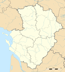 Saint-Cyr-du-Doret | |
| Coordinates: 46°16′48″N 0°48′28″W / 46.28°N 0.8078°WCoordinates: 46°16′48″N 0°48′28″W / 46.28°N 0.8078°W | |
| Country | France |
| Region | Poitou-Charentes |
| Department | Charente-Maritime |
| Arrondissement | La Rochelle |
| Canton | Courçon |
| Government | |
| • Mayor (2008–2014) | Thierry Cebrand |
| Area1 | 17.08 km2 (6.59 sq mi) |
| Population (2008)2 | 566 |
| • Density | 33/km2 (86/sq mi) |
| INSEE/Postal code | 17322 / 17170 |
| Elevation |
1–36 m (3.3–118.1 ft) (avg. 7 m or 23 ft) |
|
1 French Land Register data, which excludes lakes, ponds, glaciers > 1 km² (0.386 sq mi or 247 acres) and river estuaries. 2 Population without double counting: residents of multiple communes (e.g., students and military personnel) only counted once. | |
Saint-Cyr-du-Doret is a commune in the Charente-Maritime department in the Poitou-Charentes region in southwestern France.
Population
| Historical population | ||
|---|---|---|
| Year | Pop. | ±% |
| 1962 | 362 | — |
| 1968 | 377 | +4.1% |
| 1975 | 345 | −8.5% |
| 1982 | 283 | −18.0% |
| 1990 | 340 | +20.1% |
| 1999 | 365 | +7.4% |
| 2008 | 566 | +55.1% |
See also
References
External links
| Wikimedia Commons has media related to Saint-Cyr-du-Doret. |