Saint-Étienne-Lardeyrol
| Saint-Étienne-Lardeyrol | |
|---|---|
|
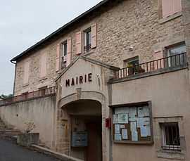
The town hall in Saint-Étienne-Lardeyrol | |
 Saint-Étienne-Lardeyrol | |
|
Location within Auvergne region  Saint-Étienne-Lardeyrol | |
| Coordinates: 45°04′20″N 4°00′07″E / 45.0722°N 4.0019°ECoordinates: 45°04′20″N 4°00′07″E / 45.0722°N 4.0019°E | |
| Country | France |
| Region | Auvergne |
| Department | Haute-Loire |
| Arrondissement | Le Puy-en-Velay |
| Canton | Saint-Julien-Chapteuil |
| Government | |
| • Mayor | Pierre Mérigeon |
| Area1 | 11.8 km2 (4.6 sq mi) |
| Population (1999)2 | 611 |
| • Density | 52/km2 (130/sq mi) |
| INSEE/Postal code | 43181 / 43260 |
| Elevation |
669–1,033 m (2,195–3,389 ft) (avg. 815 m or 2,674 ft) |
|
1 French Land Register data, which excludes lakes, ponds, glaciers > 1 km² (0.386 sq mi or 247 acres) and river estuaries. 2 Population without double counting: residents of multiple communes (e.g., students and military personnel) only counted once. | |
Saint-Étienne-Lardeyrol is a commune in the Haute-Loire department in south-central France.
See also
References
| Wikimedia Commons has media related to Saint-Étienne-Lardeyrol. |