Sadaung II, Wetlet Township
For the other village in Wetlet Township named Sadaung, see Sadaung I, Wetlet Township.
| Sadaung ဆားတောင် | |
|---|---|
| Village | |
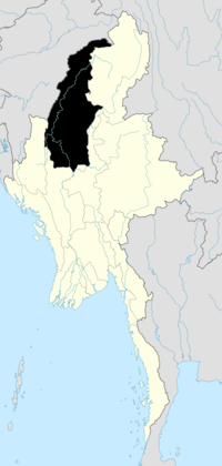
 Sadaung Location in Burma. | |
| Coordinates: 22°19′17″N 95°55′28″E / 22.32139°N 95.92444°ECoordinates: 22°19′17″N 95°55′28″E / 22.32139°N 95.92444°E | |
| Country |
|
| Region | Sagaing Region |
| District | Shwebo District |
| Township | Wetlet |
| Elevation | 76 m (252 ft) |
| Time zone | MST (UTC+6.30) |
Sadaung is a village in Shwebo District in southwestern Sagaing Region in Burma (Mynmar). It lies in the drainage of the Irrawaddy River. It is located about halfway between the villages of Yonbingon and Ywathit, 7 km due west of Ywatha.