Sadaung I, Wetlet Township
For the other village in Wetlet Township named Sadaung, see Sadaung II, Wetlet Township.
| Sadaung ဆားတောင် | |
|---|---|
| Village | |
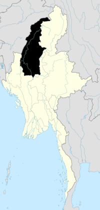
 Sadaung Location in Burma. | |
| Coordinates: 22°25′45″N 95°49′56″E / 22.42917°N 95.83222°ECoordinates: 22°25′45″N 95°49′56″E / 22.42917°N 95.83222°E | |
| Country |
|
| Region | Sagaing Region |
| District | Shwebo District |
| Township | Wetlet |
| Elevation | 75 m (249 ft) |
| Time zone | MST (UTC+6.30) |
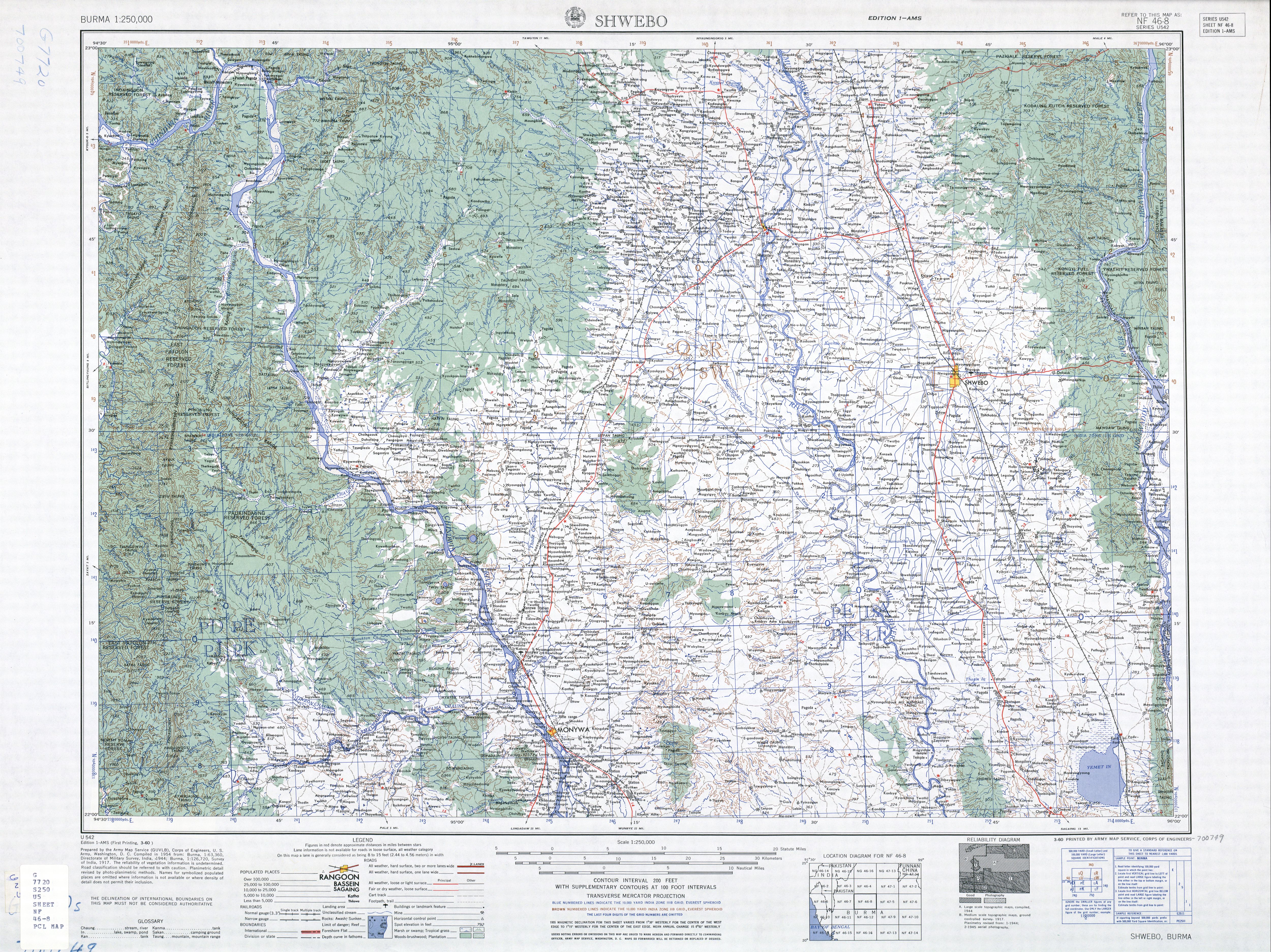
Sadaung is a village in Shwebo District in southwestern Sagaing Region in Burma (Mynmar). It is in the Mu River drainage basin. It is located 2.5 km southwest of Halin Taungbo, in the foothills of the Mawdaw Mountains.[1]
Notes
- ↑ Burma 1:250,000 topographic map, Series U542, NF 46-8 Shwebo U.S. Army Map Service, March 1960
