Sadaung, Natogyi Township
| Sadaung ဆားတောင် | |
|---|---|
| Town | |
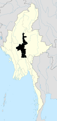
 Sadaung Location in Burma. | |
| Coordinates: 21°17′42″N 95°47′10″E / 21.29500°N 95.78611°ECoordinates: 21°17′42″N 95°47′10″E / 21.29500°N 95.78611°E | |
| Country |
|
| Region | Mandalay Region |
| District | Myingyan |
| Township | Natogyi |
| Elevation | 166 m (547 ft) |
| Time zone | MST (UTC+6.30) |
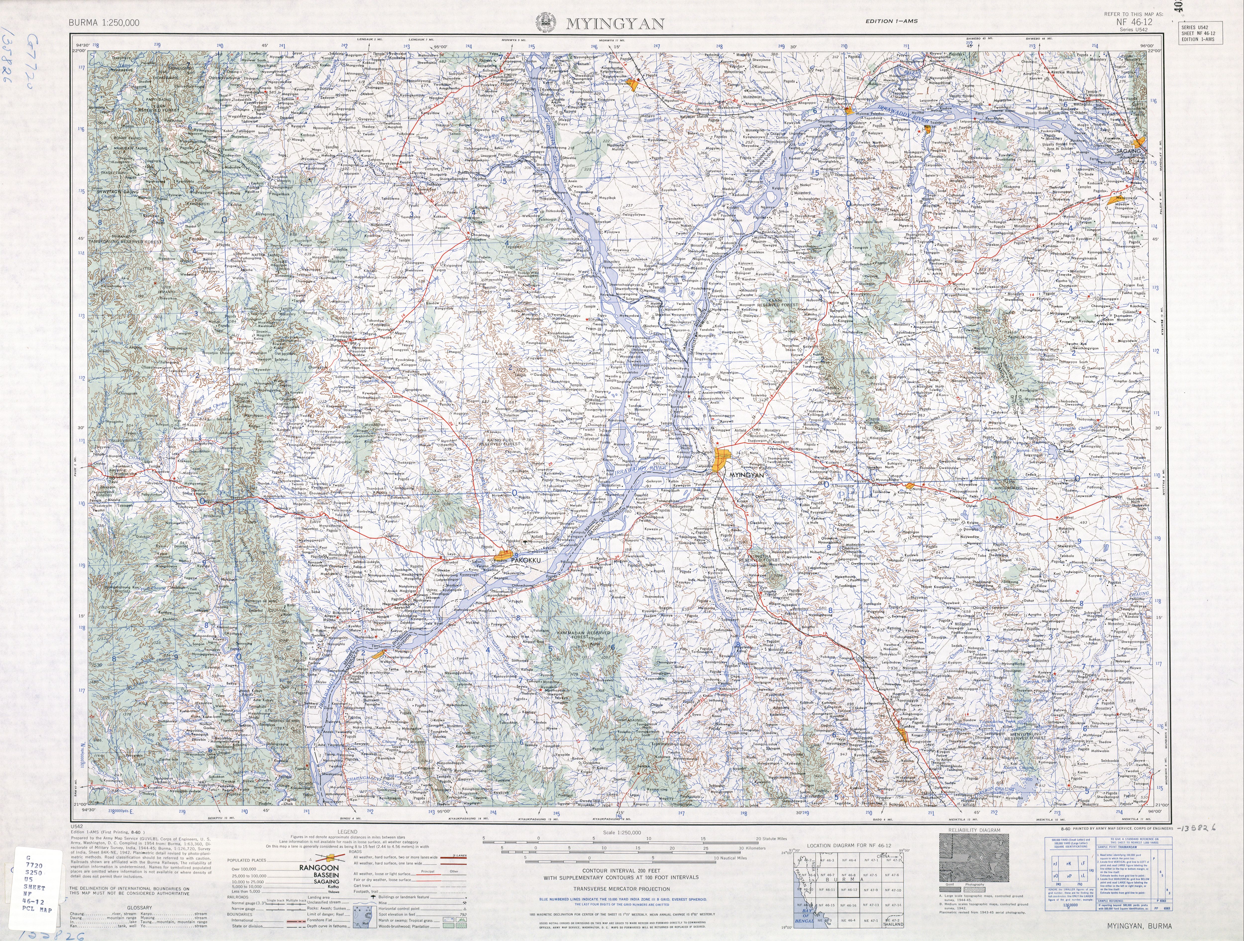
Sadaung is a small town in eastern Myingyan District in the center of the Mandalay Region in Burma (Mandalay). It is located just south of Route 2, southwest of Pyinzi and eastsoutheast of Natogyi.[1]
Notes
- ↑ Burma 1:250,000 topographic map, Series U542, NF 46-12 Myingyin U.S. Army Map Service, August 1960
External links
| |||||||||||||||||||||||||||||||||||||||||
