São Jorge Airport
| São Jorge Airport | |||||||||||
|---|---|---|---|---|---|---|---|---|---|---|---|
 | |||||||||||
| IATA: SJZ – ICAO: LPSJ | |||||||||||
| Summary | |||||||||||
| Airport type | Public | ||||||||||
| Owner | R.A.A. | ||||||||||
| Operator | SATA Gestão de Aeródromos | ||||||||||
| Location | Velas | ||||||||||
| Elevation AMSL | 102 m / 335 ft | ||||||||||
| Coordinates | 38°39′55″N 028°10′29″W / 38.66528°N 28.17472°WCoordinates: 38°39′55″N 028°10′29″W / 38.66528°N 28.17472°W | ||||||||||
| Map | |||||||||||
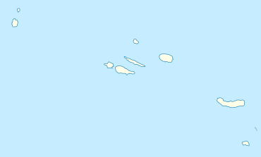
 LPSJ Location in the Azores | |||||||||||
| Runways | |||||||||||
| |||||||||||
São Jorge Airport (Portuguese: Aérodromo de São Jorge) (IATA: SJZ, ICAO: LPSJ) is an airport located 6 km (3.7 mi) northwest of Velas and 28 km (17 mi) southeast of Calheta on São Jorge Island in the Azores.
Scheduled services
| Airlines | Destinations |
|---|---|
| SATA Air Acores | Terceira, Ponta Delgada |