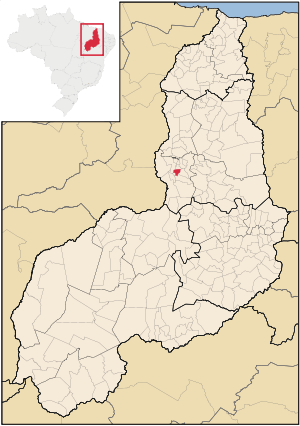
São Gonçalo do Piauí
| Map | |
|---|---|
 | |
| Statistics | |
| State: | Piauí |
| Meso-region: | Northcentral Piauí (Centro-Norte Piauiense) |
| Location: | 6.867/6° 52' 8" S lat. 42.36/42° 21' 36" W long. |
| Area: | 1367.9 km² |
| Population (2006): - Total - Change - Density | 4,342 18.3/km² |
| Elevation: | 240 m |
| Postal code: | 64438-xxx |
São Gonçalo do Piauí (first part, Portuguese meaning "San Goncalo of Piaui") is a municipality of the Brazilian state of Piaui. It is located at a latitude 05° 59' 36" south and a longitude 42° 42' 10" west, with an altitude of 270 meters. Its estimated population in 2004 was 4 596 inhabitants. It has an area of 1367.9 km ². In a plebiscite held in 1995 in their districts, the village corner, was emancipated and became the municipality of Santo Antônio dos Milagres.