Rushan Range
| Rushan Range | |
|---|---|
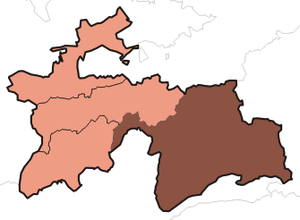
 Rushan Range Location in Tajikistan | |
| Elevation |
6,083 m (19,957 ft) Elevation is given for Patkhor Peak |
| Location | |
| Location | Gorno-Badakhshan, Tajikistan |
| Coordinates |
37°54′0″N 72°10′0″E / 37.90000°N 72.16667°ECoordinates: 37°54′0″N 72°10′0″E / 37.90000°N 72.16667°E Location of Patkhor Peak |
Rushan Range is a mountain range in south-western Pamir in Tajikistan, trending in the south-westerly direction from Sarez Lake toward Khorog, between Gunt River to the south and Bartang River to the north. About 120 km long, reaching its highest elevation of 6,083 m at Patkhor Peak (also Patkhur, Tajik: Паххор). Rushan Range on the pushpin map is represented by the coordinates of Patkhor Peak.
References
| |||||||||||||||||||||