Rural Municipality of Paynton No. 470
| Paynton No. 470, Saskatchewan | |
|---|---|
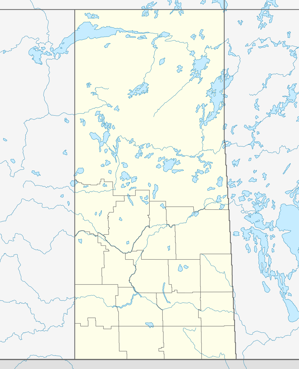 Location of Paynton No. 470, in Saskatchewan | |
| Coordinates: 53°01′04″N 108°57′04″W / 53.01778°N 108.95111°WCoordinates: 53°01′04″N 108°57′04″W / 53.01778°N 108.95111°W | |
| Country | Canada |
| Province | Saskatchewan |
| Rural Municipality | Paynton |
| Rural Municipality | January 1, 1913. |
| Area | |
| • Total | 593.95 km2 (229.33 sq mi) |
| Population (2011) | |
| • Total | 268 |
| Time zone | UTC (UTC-6) |
| Website | http://www.saskbiz.ca/communityprofiles/CommunityProfile.Asp?CommunityID=945 |
Paynton No. 470, Saskatchewan, is a rural municipality in the northwestern part of Saskatchewan, Canada. The RM was incorporated October 1909.[1] Other localities in the area include the village of Paynton and hamlet of Bresaylor.[2][3][4]
A rural municipality is an administrative district consisting of an elected reeve, councilors, administrator who provide essential services within their area.
The Paynton Ferry is used as an access to the Northern Lakes for area residents..— Paynton No. 470[5]
Statistics
| ||||||||||||||||||
Area statistics
- Lat 53° 01' 04" N
- Long 108° 57' 04" W
- Time zone (est) UTC-6
References
- ↑ "MRD Municipal Status Information", Ministry of Municipal Affairs (Government of Saskatchewan), archived from the original (– SCHOLAR SEARCH) on 2008-03-25, retrieved 2008-03-28
- ↑ Saskatchewan Genealogy Association, retrieved 2008-03-28
- ↑ "geographical codes and localities ,2006", Statistics Canada (Government of Canada), retrieved 2008-03-28
- ↑ "Paynton No. 470", Sask biz (Government of Saskatchewan), retrieved 2008-03-28
- ↑ Sask Biz, Government of Saskatchewan (2004), Paynton No. 470, retrieved 2008-03-28
- ↑ "2011 Community Profiles". Canada 2011 Census. Statistics Canada. July 5, 2013. Retrieved 2012-02-24.
- ↑ "2006 Community Profiles". Canada 2006 Census. Statistics Canada. March 30, 2011. Retrieved 2009-02-24.
- ↑ "Paynton No. 470, Saskatchewan, Canada, North America". World Index. Rumbletum.org. 2004. Retrieved 2008-03-28.