Rural Municipality of Churchbridge No. 211
| Churchbridge No. 211, Saskatchewan | |
|---|---|
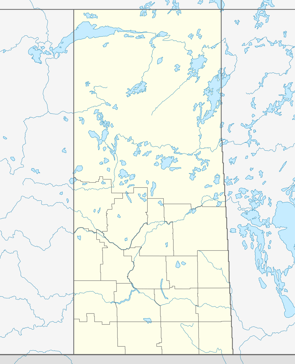 Location of Churchbridge No. 211, in Saskatchewan | |
| Coordinates: 51°00′N 101°50′W / 51.000°N 101.833°WCoordinates: 51°00′N 101°50′W / 51.000°N 101.833°W | |
| Country | Canada |
| Province | Saskatchewan |
| Rural Municipality | January 1, 1913 |
| Area | |
| • Total | 958.98 km2 (370.26 sq mi) |
| Population (2006) | |
| • Total | 679 |
| Time zone | UTC (UTC-6) |
This article is about the rural municipality in Canada. For other places with the same name, see Churchbridge
Churchbridge No. 211, Saskatchewan, is a rural municipality of 679 rural residents (2006 census) in the east centralpart of Saskatchewan, Canada. The RM was incorporated January 1, 1913.[1] Other localities in the area include MacNutt, Beresina, Langenburg and Churchbridge.[2][3][4]
A rural municipality is an administrative district consisting of an elected reeve, councilors, administrator who provide essential services within their area.
Statistics
| ||||||||||
Area statistics
- Lat 51° 00' 00" N
- Long 101° 50' 00" W
- Time zone (est) UTC-6
External links
- Saskatoon Regional Economic Development Authority - SREDA
- Saskatchewan, Canada, Rand McNally 1924 Indexed Pocket Map Tourists' and Shippers' Guide
- GeoNames Query
- Post Offices and Postmasters - ArchiviaNet - Library and Archives Canada
- Saskatchewan Gen Web - One Room School Project
- Canadian Maps: January 1925 Waghorn's Guide. Post Offices in Man. Sask. Alta. and West Ontario.
- Saskatoon Gen Web
References
- ↑ "MRD Municipal Status Information". Ministry of Municipal Affairs. Government of Saskatchewan. Archived from the original on 2008-03-25. Retrieved 2008-03-28.
- ↑ "Saskatchewan Genealogy Association". Retrieved 2008-03-28.
- ↑ Huang, Yj; Powers, R; Montelione, Gt (Feb 2005). "Statistics". Statistics Canada 127 (6). Government of Canada. pp. 1665–74. doi:10.1021/ja047109h. PMID 15701001. Retrieved 2008-03-28.
- ↑ "Churchbridge No. 211". Sask biz. Government of Saskatchewan. Retrieved 2008-03-28.
- ↑ "2006 Community Profiles". Canada 2006 Census. Statistics Canada. March 30, 2011. Retrieved 2009-02-24.
- ↑ "2006 Community Profiles". Statistics Canada. Government of Canada. 2006. Retrieved 2008-03-28.
- ↑ "Churchbridge No. 211, Saskatchewan, Canada, North America". World Index. Rumbletum.org. 2004. Retrieved 2008-03-28.
- ↑ "MRD Rural Municipality (RM) Boundary maps". Ministry of Municipal Affairs. Government of Saskatchewan. Archived from the original on 2008-03-25. Retrieved 2008-03-28.